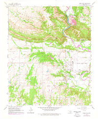
1964 Map of Gene Autry
USGS Topo · Published 1978About this map
The Atchison Topeka and Santa Fe railroad corridor anchors this mid-century view of the southern Arbuckle Mountains, where the Washita River cuts a sharp loop through the landscape. The town of Gene Autry—originally named Berwyn—is situated near the Ardmore Municipal Airport, illustrating the evolution of local transportation from rail to air. The northern terrain is defined by complex topography, including notable landmarks like Cedar Falls and Farmer Hole along Cool Creek. Industrial activity is evident in the quarries and Gravel Pits concentrated near the river and the settlement of Crusher. For genealogists, the map preserves the locations of several community hubs, such as Academy Ch, Henderson Cem, and Mt Pleasant Cem, which served the rural families of the Murray and Carter County border area.
Find a feature on this map
32 named features on this map. Tap any name to fly to it.
Don’t see what you’re looking for? This feature index may not catch every label — zoom into the map to look around manually.
Map Details
Editions of this 1964 Gene Autry Map
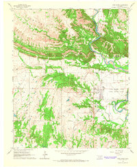
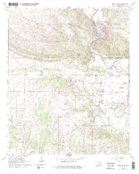
3 editions found
Other maps of this area

1901 · Tishomingo
USGS Topo · 1:125,000

1901 · Ardmore
USGS Topo · 1:125,000

1918 · Ardmore
USGS Topo · 1:125,000

1957 · Ardmore
USGS Topo · 1:250,000

1963 · Ardmore
USGS Topo · 1:250,000

1963 · Mannsville
USGS Topo · 1:24,000

1963 · Sulphur South
USGS Topo · 1:24,000

1963 · Nebo
USGS Topo · 1:24,000

1964 · Ardmore East
USGS Topo · 1:24,000

1964 · Ardmore West
USGS Topo · 1:24,000