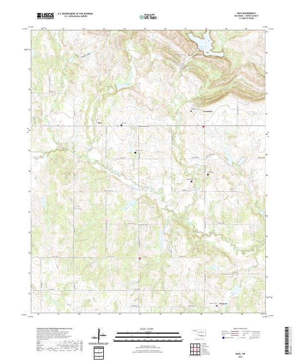
2022 Map of Milo
USGS Topo · Published 2022About this map
The Arbuckle Mountains dominate the northern landscape of this Carter County region, where the rugged terrain transitions into the creek-carved plains of Milo and Woodford. A high concentration of family and community burial grounds, including Milo Cem, Woodford Cem, and Pruitt Cem, provides significant value for genealogical research. The hydrological network is well-defined by Caddo Creek and its many tributaries like Hickory Cr and Sand Br, feeding into the larger water systems of the territory. Historically significant landmarks such as Mountain Lake and Hickory Falls underscore the diverse geography. The presence of roads like Sorghum Mill Rd and Oil City Rd hints at the agricultural and industrial legacies of this Oklahoma landscape, while the township boundaries of t2s r2w and t3s r1w provide a clear framework for land ownership studies.
Find a feature on this map
54 named features on this map. Tap any name to fly to it.
Don’t see what you’re looking for? This feature index may not catch every label — zoom into the map to look around manually.
Map Details
Editions of this 2022 Milo Map
This is the sole edition of this map. No revisions or reprints were ever made.
Historical Maps of Milo Through Time
10 maps found
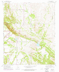
1963 Nebo
Carter County, OK
1964 Ardmore East
Carter County, OK
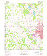
1964 Ardmore West
Carter County, OK
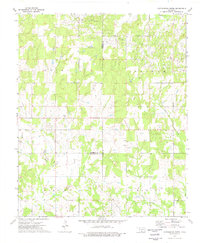
1969 Milo
Carter County, OK
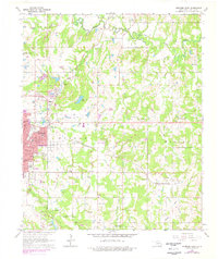
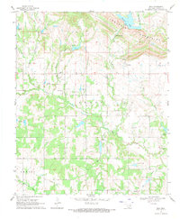
1974 Cottonwood Creek
Carter County, OK
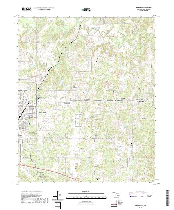
2022 Ardmore East
Carter County, OK
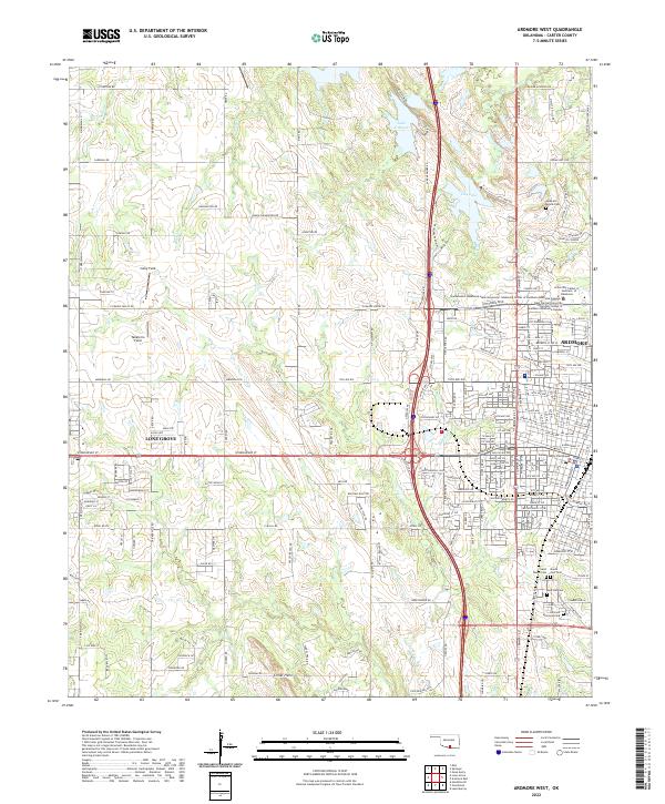
2022 Ardmore West
Carter County, OK
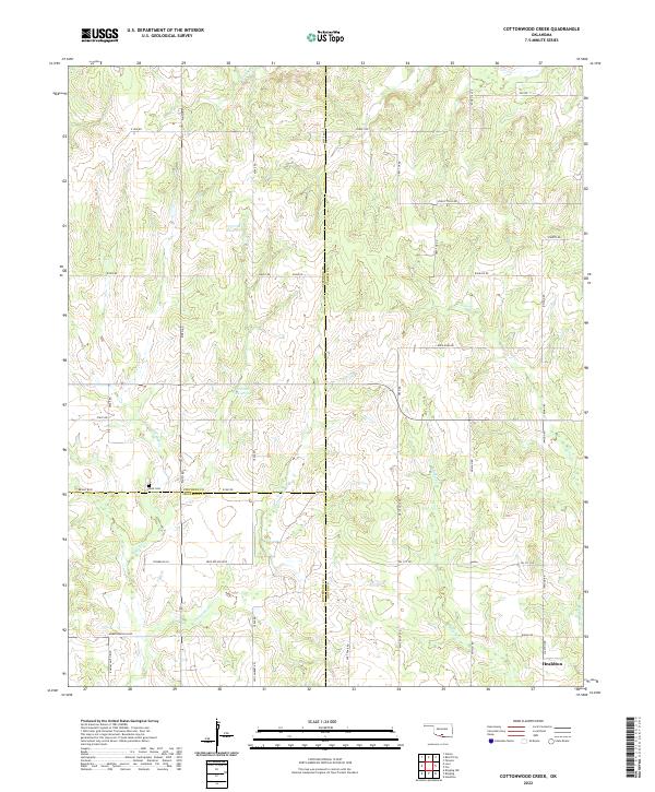
2022 Cottonwood Creek
Carter County, OK
2022 Milo
Carter County, OK
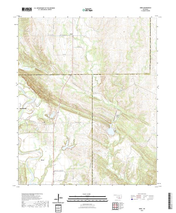
2022 Nebo
Carter County, OK