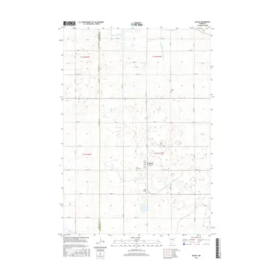
2016 Map of Milroy
USGS Topo · Published 2016About this map
The agricultural landscape of the Milroy area is defined by a rigorous grid of section lines and an extensive drainage network designed to support large-scale farming. Water management is a primary feature of this terrain, ranging from the natural winding of the Redwood River in the north and Sleepy Eye Cr in the south to the engineered precision of the County Ditch Number Ninetythree and the Judicial Ditch Number Fourteen and Fifteen.
Find a feature on this map
47 named features on this map. Tap any name to fly to it.
Don’t see what you’re looking for? This feature index may not catch every label — zoom into the map to look around manually.
Map Details
Editions of this 2016 Milroy Map
This is the sole edition of this map. No revisions or reprints were ever made.
Other maps of this area

1953 · New Ulm
USGS Topo · 1:250,000

1957 · New Ulm
USGS Topo · 1:250,000

1958 · New Ulm
USGS Topo · 1:250,000

1962 · Dudley
USGS Topo · 1:24,000

1962 · Cottonwood
USGS Topo · 1:24,000

1962 · School Grove Lake
USGS Topo · 1:24,000

1962 · Milroy SE
USGS Topo · 1:24,000

1962 · Amiret
USGS Topo · 1:24,000

1962 · Milroy
USGS Topo · 1:24,000

1965 · Echo
USGS Topo · 1:24,000