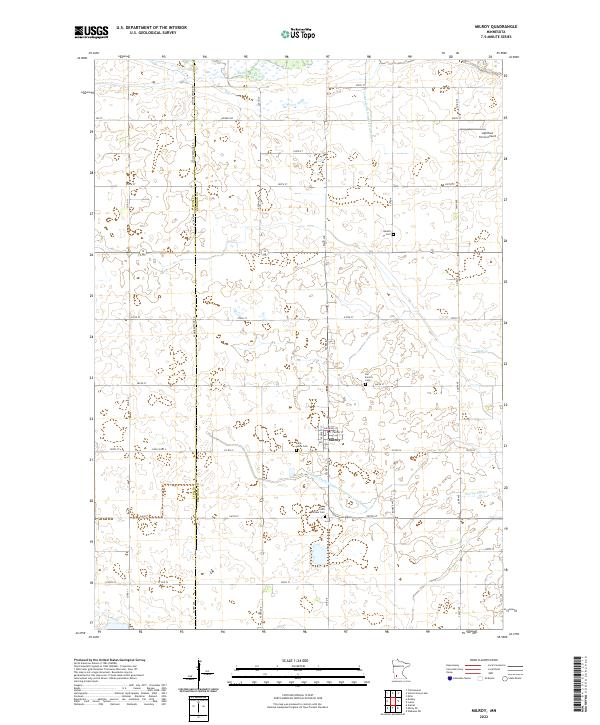
2022 Map of Milroy
USGS Topo · Published 2022About this map
Milroy serves as the primary hub of this agricultural landscape in Redwood County, situated at the intersection of Cherry St and Superior St. The town is surrounded by a network of rural roads such as Lyon Redwood Rd and Camp Ave, which delineate the expansive farmlands of southwestern Minnesota. The hydrography of the region is defined by the Redwood River in the north and meandering streams like Sleepy Eye Cr and Clear Cr in the southeast. Significant modifications to the natural drainage are evident through features like County Ditch Number Ninetythree and Judicial Ditch Number Fourteen and Fifteen, illustrating the intensive water management required for prairie agriculture. Genealogists will find the area’s history preserved in several local burial grounds, including the Danish Cem, Saint Johns Cem, Our Saviors Cem, and Saint Michael Cem. The northern portion of the map also highlights the small-scale aviation presence at Lightfoot Farms Airport.
Find a feature on this map
45 named features on this map. Tap any name to fly to it.
Don’t see what you’re looking for? This feature index may not catch every label — zoom into the map to look around manually.
Map Details
Editions of this 2022 Milroy Map
This is the sole edition of this map. No revisions or reprints were ever made.
Other maps of this area

1953 · New Ulm
USGS Topo · 1:250,000

1957 · New Ulm
USGS Topo · 1:250,000

1958 · New Ulm
USGS Topo · 1:250,000

1962 · Dudley
USGS Topo · 1:24,000

1962 · Cottonwood
USGS Topo · 1:24,000

1962 · School Grove Lake
USGS Topo · 1:24,000

1962 · Milroy SE
USGS Topo · 1:24,000

1962 · Amiret
USGS Topo · 1:24,000

1962 · Milroy
USGS Topo · 1:24,000

1965 · Echo
USGS Topo · 1:24,000