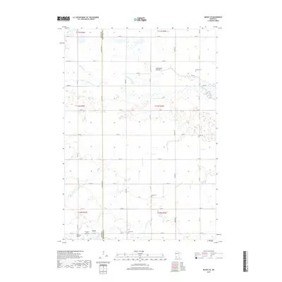
2019 Map of Milroy SE
USGS Topo · Published 2019About this map
Tracy anchors the southwestern corner of this survey, where the town limits meet the Lyon Co Redwood Co boundary. The landscape is a structured grid of agricultural roads, including Co Hwy 20 and Cty Rd 79, crossing the drainage basins of the Cottonwood River and Lone Tree Cr. This 2019 data highlights a significant concentration of burial sites for genealogists, including the Old Gates Cem, Swedish Cem, and Saint Mary's Calvary Catholic Cem. Of particular geological interest is the Nettiewynnt Lake Bed in the north-central portion of the quadrangle, illustrating the natural drainage patterns that have long defined the prairie landscape of western Minnesota. The Tracy Municipal Airport stands as the primary infrastructure landmark, situated just outside the central residential district.
Find a feature on this map
40 named features on this map. Tap any name to fly to it.
Don’t see what you’re looking for? This feature index may not catch every label — zoom into the map to look around manually.
Map Details
Editions of this 2019 Milroy SE Map
This is the sole edition of this map. No revisions or reprints were ever made.
Other maps of this area

1953 · New Ulm
USGS Topo · 1:250,000

1957 · New Ulm
USGS Topo · 1:250,000

1958 · New Ulm
USGS Topo · 1:250,000

1962 · Dudley
USGS Topo · 1:24,000

1962 · Milroy SE
USGS Topo · 1:24,000

1962 · Amiret
USGS Topo · 1:24,000

1962 · Milroy
USGS Topo · 1:24,000

1967 · New Ulm
USGS Topo · 1:250,000

1967 · Walnut Grove
USGS Topo · 1:24,000

1967 · Tracy East
USGS Topo · 1:24,000