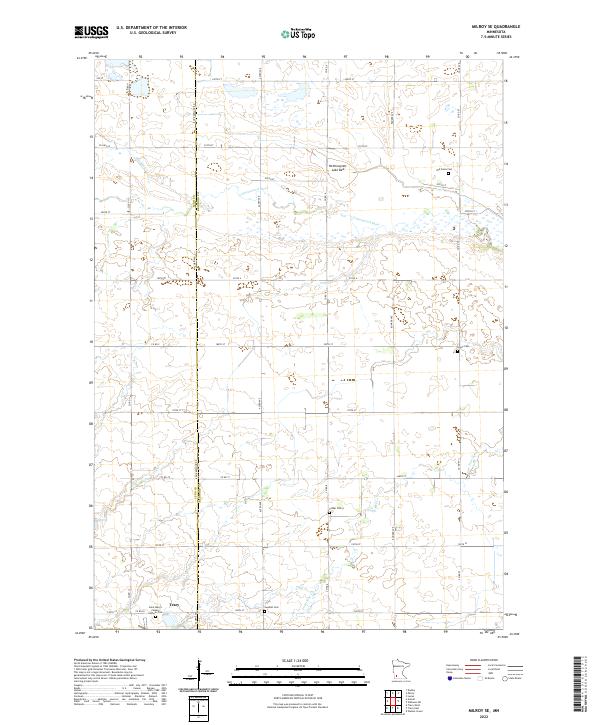
2022 Map of Milroy SE
USGS Topo · Published 2022About this map
The Cottonwood River and its seasonal tributaries define this agricultural landscape along the Lyon Co Redwood Co border. Near the southern edge of the sheet, the northern portion of Tracy is visible, situated just north of Saint Mary's Calvary Catholic Cem. The surrounding townships of t111n r40w, t111n r39w, t110n r40w, and t109n r39w reflect a long-standing rural settlement pattern, evidenced by the numerous small burial grounds dispersed among the section lines. Significant local history sites include the Old Gales Cem, Gales Cem, Luther Cem, and Swedish Cem, indicating the diverse community origins in the region. The map also captures the Nettiewynnt Lake Bed and watercourses like Meadow Cr and Lone Tree Cr, which reveal the underlying drainage patterns of this prairie region as it appeared in recent years.
Find a feature on this map
39 named features on this map. Tap any name to fly to it.
Don’t see what you’re looking for? This feature index may not catch every label — zoom into the map to look around manually.
Map Details
Editions of this 2022 Milroy SE Map
This is the sole edition of this map. No revisions or reprints were ever made.
Other maps of this area

1953 · New Ulm
USGS Topo · 1:250,000

1957 · New Ulm
USGS Topo · 1:250,000

1958 · New Ulm
USGS Topo · 1:250,000

1962 · Dudley
USGS Topo · 1:24,000

1962 · Milroy SE
USGS Topo · 1:24,000

1962 · Amiret
USGS Topo · 1:24,000

1962 · Milroy
USGS Topo · 1:24,000

1967 · New Ulm
USGS Topo · 1:250,000

1967 · Walnut Grove
USGS Topo · 1:24,000

1967 · Tracy East
USGS Topo · 1:24,000