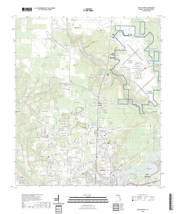
2024 Map of Milton North
USGS Topo · Published 2024About this map
NAS Whiting Field Milton FL dominates the northeastern landscape, its sprawling runways and administrative complexes like Whiting Field Naval Air Station North defining the regional activity. To the south, the city of Milton sits along the banks of the Blackwater River, near the confluence of Quinn Bayou and Locklin Lake. This area shows a transition from the established urban grid of the county seat to the outlying residential developments of Point Baker and Roeville.
Find a feature on this map
271 named features on this map. Tap any name to fly to it.
Don’t see what you’re looking for? This feature index may not catch every label — zoom into the map to look around manually.
Map Details
Editions of this 2024 Milton North Map
This is the sole edition of this map. No revisions or reprints were ever made.
Other maps of this area

1920 · Milton
USGS Topo · 1:62,500

1934 · Harold
USGS Topo · 1:62,500

1937 · Harold
USGS Topo · 1:62,500

1938 · Harold
USGS Topo · 1:62,500

1941 · Milton
USGS Topo · 1:62,500

1943 · Milton
USGS Topo · 1:62,500

1943 · Jay
USGS Topo · 1:62,500
1944 · Floridatown
USGS Topo · 1:25,000

1948 · Munson
USGS Topo · 1:62,500

1950 · Munson
USGS Topo · 1:62,500