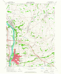
1965 Map of Milton
USGS Topo · Published 1966About this map
The West Branch Susquehanna River serves as the primary corridor for development and industry through this mid-1960s landscape, bordering the established manufacturing hub of Milton. The town’s grid is densely packed with residential streets, schools like the Jr High Sch, and essential infrastructure such as the Milton Airport. North of the urban center, the river valley supports smaller communities including Watsontown, McEwensville, and Dewart, all tied together by the Pennsylvania Railroad and a network of rural roads that cross over Warrior Run and Limestone Run.
Find a feature on this map
62 named features on this map. Tap any name to fly to it.
Don’t see what you’re looking for? This feature index may not catch every label — zoom into the map to look around manually.
Map Details
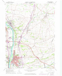
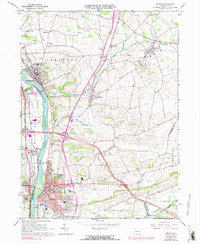
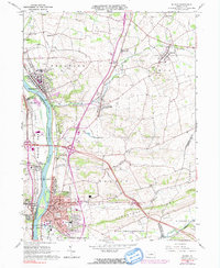
Editions of this 1965 Milton Map
4 editions found
Other maps of this area

1892 · Shamokin
USGS Topo · 1:62,500

1893 · Sunbury
USGS Topo · 1:62,500

1893 · Shamokin
USGS Topo · 1:62,500

1924 · Milton
USGS Topo · 1:62,500

1935 · Hughesville
USGS Topo · 1:62,500

1943 · Shamokin
USGS Topo · 1:62,500

1943 · Sunbury
USGS Topo · 1:62,500

1950 · Harrisburg
USGS Topo · 1:250,000

1952 · Shamokin
USGS Topo · 1:62,500

1953 · Hughesville
USGS Topo · 1:62,500