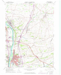
1965 Map of Milton
USGS Topo · Published 1973About this map
The West Branch Susquehanna River serves as the dominant geographical spine for this central Pennsylvania landscape, separating Union and Northumberland counties. In the mid-1960s, the borough of Milton appears as a dense industrial and residential hub, characterized by its grid of streets, multiple schools like the Jr High Sch, and the presence of the Reading and Penn Central railroads. To the north and east, the terrain transitions into the agricultural valleys of Turbot and Limestone, where smaller clusters like McEwensville and Turbotville maintain their 19th-century footprints.
Find a feature on this map
64 named features on this map. Tap any name to fly to it.
Don’t see what you’re looking for? This feature index may not catch every label — zoom into the map to look around manually.
Map Details
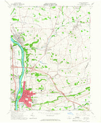
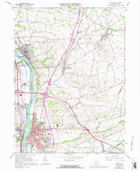
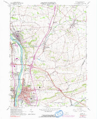
Editions of this 1965 Milton Map
4 editions found
Other maps of this area

1892 · Shamokin
USGS Topo · 1:62,500

1893 · Sunbury
USGS Topo · 1:62,500

1893 · Shamokin
USGS Topo · 1:62,500

1924 · Milton
USGS Topo · 1:62,500

1935 · Hughesville
USGS Topo · 1:62,500

1943 · Shamokin
USGS Topo · 1:62,500

1943 · Sunbury
USGS Topo · 1:62,500

1950 · Harrisburg
USGS Topo · 1:250,000

1952 · Shamokin
USGS Topo · 1:62,500

1953 · Hughesville
USGS Topo · 1:62,500