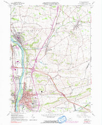
1965 Map of Milton
USGS Topo · Published 1991About this map
The Susquehanna River West Branch serves as the central artery for this mid-1960s landscape, dividing the denser settlements of Milton and Watsontown on the east bank from West Milton and New Columbia on the west. This river-valley corridor is defined by its deep industrial and transportation roots, shown through the parallel paths of the Reading and Penn Central railroads. While the riverside towns bustle with a compact grid of streets, a Boro Hall, and a Po, the eastern uplands toward Limestone Ridge transition into a rural patchwork of small hamlets and historic congregational sites. Genealogists will find a wealth of burial grounds including Milton Cemetery, Harmony Cemetery, and the St Josephs Cem, alongside local landmarks such as the Milton Airport and Wynding Brook Country Club. The presence of multiple Gravel Pits and a Quarry indicates the active extraction industry supporting the region's growth during this era.
Find a feature on this map
67 named features on this map. Tap any name to fly to it.
Don’t see what you’re looking for? This feature index may not catch every label — zoom into the map to look around manually.
Map Details
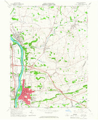
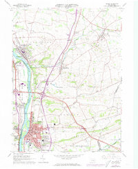
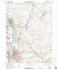
Editions of this 1965 Milton Map
4 editions found
Other maps of this area

1892 · Shamokin
USGS Topo · 1:62,500

1893 · Sunbury
USGS Topo · 1:62,500

1893 · Shamokin
USGS Topo · 1:62,500

1924 · Milton
USGS Topo · 1:62,500

1935 · Hughesville
USGS Topo · 1:62,500

1943 · Shamokin
USGS Topo · 1:62,500

1943 · Sunbury
USGS Topo · 1:62,500

1950 · Harrisburg
USGS Topo · 1:250,000

1952 · Shamokin
USGS Topo · 1:62,500

1953 · Hughesville
USGS Topo · 1:62,500