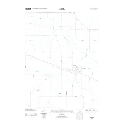
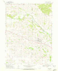
2013 Map of Milton
USGS Topo · Published 2013About this map
The town of Milton serves as the primary hub of this Van Buren County landscape, defined by a dense grid of residential streets near the southern bend of the Fox River. Agricultural land is partitioned by a strictly maintained section-line road network, including notable thoroughfares like Wheat Ave and Yukon Ave. In the northern reach of the survey, the settlement of Troy sits near the crossing of 215th St and Co Hwy-J40. The drainage pattern is a significant feature of the local geography, with the Little Fox River and Hickory Cr cutting through the fields. These waterways, alongside smaller tributaries like Billups Br, dictate the undulating topography of the region, while modern naming conventions like Young Berry Blvd and Yak Blvd suggest contemporary residential developments or rural lane designations.
Find a feature on this map
57 named features on this map. Tap any name to fly to it.
Don’t see what you’re looking for? This feature index may not catch every label — zoom into the map to look around manually.
Map Details
Editions of this 2013 Milton Map
This is the sole edition of this map. No revisions or reprints were ever made.
Other maps of this area

1954 · Centerville
USGS Topo · 1:250,000

1956 · Ottumwa South
USGS Topo · 1:62,500

1957 · Centerville
USGS Topo · 1:250,000

1958 · Centerville
USGS Topo · 1:250,000

1965 · Selma
USGS Topo · 1:24,000

1965 · Douds
USGS Topo · 1:24,000
1970 · Cantril
USGS Topo · 1:24,000
1970 · Brock
USGS Topo · 1:24,000
1970 · Azen
USGS Topo · 1:24,000
1970 · Milton
USGS Topo · 1:24,000