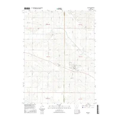
2015 Map of Milton
USGS Topo · Published 2015About this map
Milton serves as the primary hub of activity in this rural pocket on the Davis Co Van Buren Co line. The town's grid is defined by streets like W Old Main St and E Harrison St, with the Sunnyside Cem and Oaks Cem situated on its periphery. The surrounding landscape is a network of township and range sections drained by the Fox River and the meandering Little Fox River.
Find a feature on this map
64 named features on this map. Tap any name to fly to it.
Don’t see what you’re looking for? This feature index may not catch every label — zoom into the map to look around manually.
Map Details
Editions of this 2015 Milton Map
This is the sole edition of this map. No revisions or reprints were ever made.
Other maps of this area

1954 · Centerville
USGS Topo · 1:250,000

1956 · Ottumwa South
USGS Topo · 1:62,500

1957 · Centerville
USGS Topo · 1:250,000

1958 · Centerville
USGS Topo · 1:250,000

1965 · Selma
USGS Topo · 1:24,000

1965 · Douds
USGS Topo · 1:24,000
1970 · Cantril
USGS Topo · 1:24,000
1970 · Brock
USGS Topo · 1:24,000
1970 · Azen
USGS Topo · 1:24,000
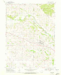
1970 · Milton
USGS Topo · 1:24,000