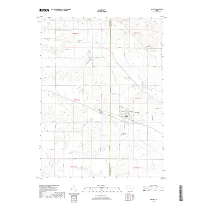
2018 Map of Milton
USGS Topo · Published 2018About this map
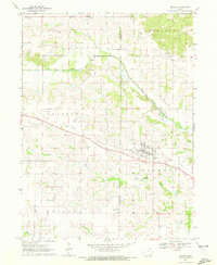
The town of Milton serves as the focal point of this southeastern Iowa landscape, situated along the county line where Davis and Van Buren Counties meet. This 2018 survey documents a region defined by its rural heritage, where a high density of burial grounds like the Amish Mennonite Church Cem and Sunnyside Cem reflects the long-standing community ties of the area. To the north, the small settlement of Troy sits near Hickory Creek, while the broader drainage basin of the Fox River and Little Fox River carves a network across the farmland.
Find a feature on this map
64 named features on this map. Tap any name to fly to it.
Don’t see what you’re looking for? This feature index may not catch every label — zoom into the map to look around manually.
Map Details
Editions of this 2018 Milton Map
This is the sole edition of this map. No revisions or reprints were ever made.
Other maps of this area

1954 · Centerville
USGS Topo · 1:250,000

1956 · Ottumwa South
USGS Topo · 1:62,500

1957 · Centerville
USGS Topo · 1:250,000

1958 · Centerville
USGS Topo · 1:250,000

1965 · Selma
USGS Topo · 1:24,000

1965 · Douds
USGS Topo · 1:24,000
1970 · Cantril
USGS Topo · 1:24,000
1970 · Brock
USGS Topo · 1:24,000
1970 · Azen
USGS Topo · 1:24,000
1970 · Milton
USGS Topo · 1:24,000