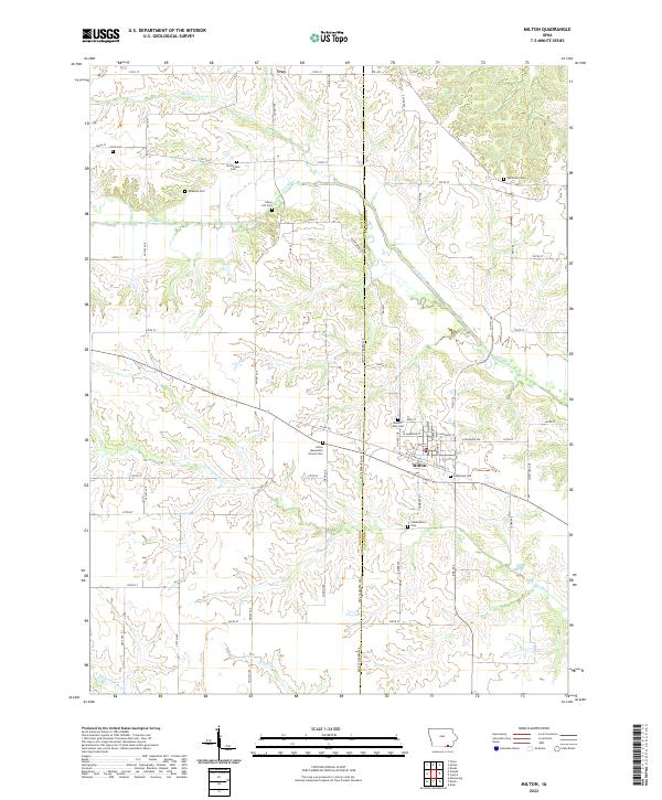
2022 Map of Milton
USGS Topo · Published 2022About this map
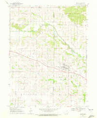
The borderlands of Davis and Van Buren counties in southern Iowa are defined by a rhythmic landscape of agricultural plateaus and timbered creek bottoms. The town of Milton serves as the primary hub in the south-central portion of the map, centered around a traditional grid of streets like N Main St and E Harrison St. To the north, the small community of Troy sits near the headwaters of Hickory Cr. The drainage patterns of the Fox River and Little Fox River create deep, branching valleys that contrast with the straight gravel roads of the section-line grid. This area preserves a significant record of local heritage through its numerous small burial grounds, including the Amish Mennonite Church Cem and several family or pioneer locations like Pansy Hill Cem and Richardson Cem, reflecting the deep-rooted rural settlement patterns of the region.
Find a feature on this map
70 named features on this map. Tap any name to fly to it.
Don’t see what you’re looking for? This feature index may not catch every label — zoom into the map to look around manually.
Map Details
Editions of this 2022 Milton Map
This is the sole edition of this map. No revisions or reprints were ever made.
Other maps of this area

1954 · Centerville
USGS Topo · 1:250,000

1956 · Ottumwa South
USGS Topo · 1:62,500

1957 · Centerville
USGS Topo · 1:250,000

1958 · Centerville
USGS Topo · 1:250,000

1965 · Selma
USGS Topo · 1:24,000

1965 · Douds
USGS Topo · 1:24,000
1970 · Cantril
USGS Topo · 1:24,000
1970 · Brock
USGS Topo · 1:24,000
1970 · Azen
USGS Topo · 1:24,000
1970 · Milton
USGS Topo · 1:24,000