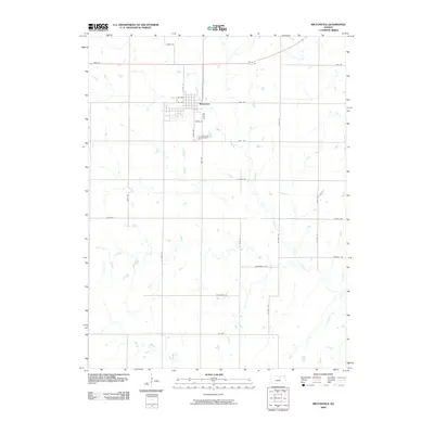
2009 Map of Miltonvale
USGS Topo · Published 2009About this map
Miltonvale serves as the primary hub in this portion of Cloud County, situated at the junction of several rural thoroughfares including N 4th St, W Ash, and W Oak. The landscape is defined by the winding paths of Chapman Creek and its tributary, West Chapman Creek, which carve through the grid-like section lines of the central Kansas prairie. Notable for genealogists, the Miltonvale Cemetery is located south of the main town site along 260th Rd. The surrounding countryside is heavily segmented by a systematic road network, with evocative local names such as Windmill Rd, Wilderness Rd, and Volunteer Rd providing navigational markers across the agricultural expanse. This survey illustrates the persistent importance of the small town center in supporting the dispersed farming community.
Find a feature on this map
29 named features on this map. Tap any name to fly to it.
Don’t see what you’re looking for? This feature index may not catch every label — zoom into the map to look around manually.
Map Details
Editions of this 2009 Miltonvale Map
This is the sole edition of this map. No revisions or reprints were ever made.
Other maps of this area

1891 · Clay Center
USGS Topo · 1:125,000

1892 · Minneapolis
USGS Topo · 1:125,000

1955 · Manhattan
USGS Topo · 1:250,000

1956 · Manhattan
USGS Topo · 1:250,000

1957 · Manhattan
USGS Topo · 1:250,000

1964 · Lamar
USGS Topo · 1:24,000

1964 · Idana
USGS Topo · 1:24,000

1964 · Miltonvale
USGS Topo · 1:24,000

1964 · Miltonvale NE
USGS Topo · 1:24,000

1965 · Aurora
USGS Topo · 1:24,000