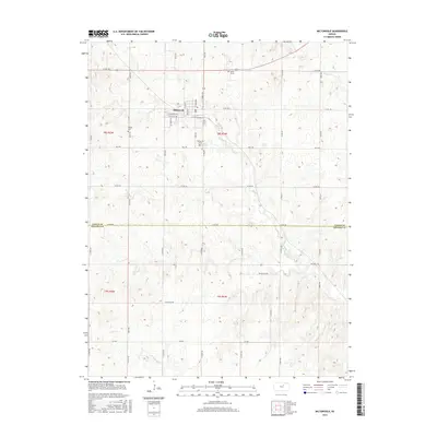
2015 Map of Miltonvale
USGS Topo · Published 2015About this map
Miltonvale serves as the central hub of this North Central Kansas landscape, positioned where the drainage of Chapman Cr and W Chapman Cr shapes the terrain. The town grid is clearly defined by local streets such as Duckworth Ave and W Tootle Ave, while the surrounding rural acreage is partitioned by a network of county roads. Genealogical interest is concentrated in three distinct burial sites: Miltonvale Cem, the Phelps Cem to the west, and the solitary Smith Grave located along the northern highway. The transition from Cloud County into Ottawa County is marked by Cloud Rd, illustrating how political boundaries overlay the natural topography of the Smoky Hills region. To the south, evocative road names like Wilderness Rd and Volunteer Rd hint at the area's agricultural and frontier heritage.
Find a feature on this map
25 named features on this map. Tap any name to fly to it.
Don’t see what you’re looking for? This feature index may not catch every label — zoom into the map to look around manually.
Map Details
Editions of this 2015 Miltonvale Map
This is the sole edition of this map. No revisions or reprints were ever made.
Other maps of this area

1891 · Clay Center
USGS Topo · 1:125,000

1892 · Minneapolis
USGS Topo · 1:125,000

1955 · Manhattan
USGS Topo · 1:250,000

1956 · Manhattan
USGS Topo · 1:250,000

1957 · Manhattan
USGS Topo · 1:250,000

1964 · Lamar
USGS Topo · 1:24,000

1964 · Idana
USGS Topo · 1:24,000

1964 · Miltonvale
USGS Topo · 1:24,000

1964 · Miltonvale NE
USGS Topo · 1:24,000

1965 · Aurora
USGS Topo · 1:24,000