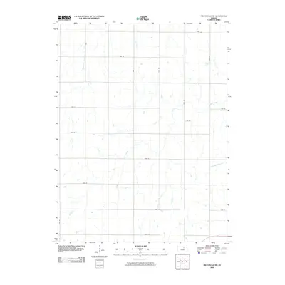
2009 Map of Miltonvale NW
USGS Topo · Published 2009About this map
Mulberry Creek and its various tributaries define this section of Cloud County, carving a dendritic drainage pattern across the agricultural landscape. The 2009 survey reveals a strictly organized section-line road network, where alphabetically named routes like Jade Rd, Iron Rd, Hawk Rd, and Gold Rd create a predictable grid for local transport. This systematic naming convention, alongside numerical roads like 240th Rd, highlights the late 20th-century approach to rural addressing and county-wide navigation.
Find a feature on this map
23 named features on this map. Tap any name to fly to it.
Don’t see what you’re looking for? This feature index may not catch every label — zoom into the map to look around manually.
Map Details
Editions of this 2009 Miltonvale NW Map
This is the sole edition of this map. No revisions or reprints were ever made.
Other maps of this area

1891 · Clay Center
USGS Topo · 1:125,000

1892 · Concordia
USGS Topo · 1:125,000

1892 · Minneapolis
USGS Topo · 1:125,000

1893 · Washington
USGS Topo · 1:125,000

1955 · Manhattan
USGS Topo · 1:250,000

1956 · Manhattan
USGS Topo · 1:250,000

1957 · Manhattan
USGS Topo · 1:250,000

1964 · Lamar
USGS Topo · 1:24,000

1964 · Idana
USGS Topo · 1:24,000

1964 · Miltonvale
USGS Topo · 1:24,000