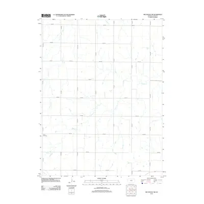
2012 Map of Miltonvale NW
USGS Topo · Published 2012About this map
Sulphur Springs Cem is the primary historical landmark in this section of rural Cloud County, marking a site of community memory within a grid of section roads. The landscape is defined by the drainage of several local waterways, including the winding course of Mulberry Cr and the headwaters of E Br Elm Cr and Beaver Cr. In the southern portion of the area, Chapman Cr and N Br Five Cr cross the terrain, illustrating the natural water network that dictated early settlement patterns.
Find a feature on this map
27 named features on this map. Tap any name to fly to it.
Don’t see what you’re looking for? This feature index may not catch every label — zoom into the map to look around manually.
Map Details
Editions of this 2012 Miltonvale NW Map
This is the sole edition of this map. No revisions or reprints were ever made.
Other maps of this area

1891 · Clay Center
USGS Topo · 1:125,000

1892 · Concordia
USGS Topo · 1:125,000

1892 · Minneapolis
USGS Topo · 1:125,000

1893 · Washington
USGS Topo · 1:125,000

1955 · Manhattan
USGS Topo · 1:250,000

1956 · Manhattan
USGS Topo · 1:250,000

1957 · Manhattan
USGS Topo · 1:250,000

1964 · Lamar
USGS Topo · 1:24,000

1964 · Idana
USGS Topo · 1:24,000

1964 · Miltonvale
USGS Topo · 1:24,000