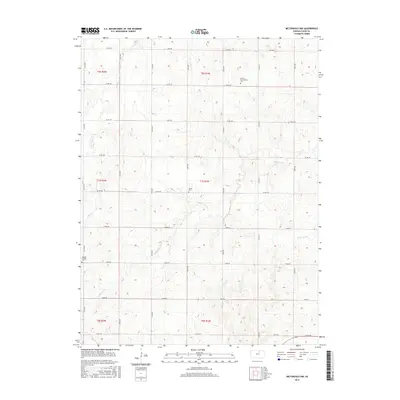
2015 Map of Miltonvale NW
USGS Topo · Published 2015About this map
French Presbyterian Cem, located in the northern reaches of this rural Kansas landscape, serves as a focal point for genealogical research in Cloud County. This 2015 survey of the Miltonvale NW quadrangle reveals a classic midwestern section-line road grid, with routes like Milo Rd and Co Rd 372 carving the prairie into neat agricultural blocks. The drainage patterns of Mulberry Cr and E Br Elm Cr break the geometry of the survey lines, creating a varied topography that has dictated the placement of local landmarks for generations.
Find a feature on this map
30 named features on this map. Tap any name to fly to it.
Don’t see what you’re looking for? This feature index may not catch every label — zoom into the map to look around manually.
Map Details
Editions of this 2015 Miltonvale NW Map
This is the sole edition of this map. No revisions or reprints were ever made.
Other maps of this area

1891 · Clay Center
USGS Topo · 1:125,000

1892 · Concordia
USGS Topo · 1:125,000

1892 · Minneapolis
USGS Topo · 1:125,000

1893 · Washington
USGS Topo · 1:125,000

1955 · Manhattan
USGS Topo · 1:250,000

1956 · Manhattan
USGS Topo · 1:250,000

1957 · Manhattan
USGS Topo · 1:250,000

1964 · Lamar
USGS Topo · 1:24,000

1964 · Idana
USGS Topo · 1:24,000

1964 · Miltonvale
USGS Topo · 1:24,000