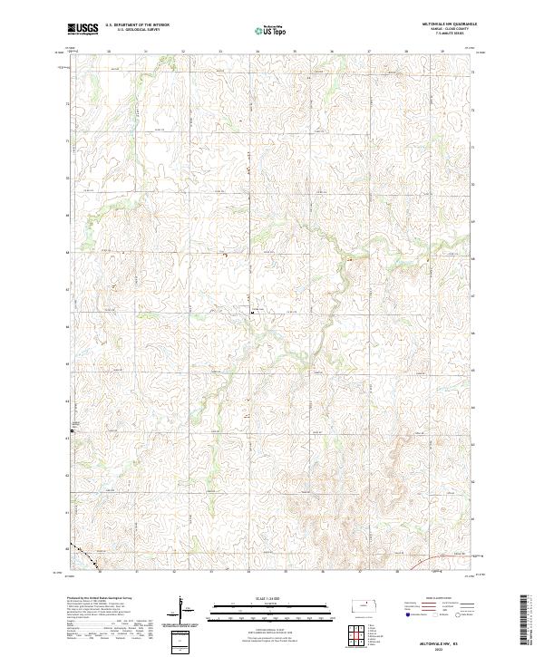
2022 Map of Miltonvale NW
USGS Topo · Published 2022About this map
Mulberry Creek and its many tributaries carve a rolling agricultural landscape through Cloud County, Kansas. This modern survey illustrates the persistent rural infrastructure of the region, where a precise grid of gravel roads like Milo Rd and Co Rd 374 connects isolated farmsteads. Two important historical sites for genealogical research, Colfax Cem and Sulphur Springs Cem, are preserved here, serving as quiet landmarks amidst the wide-reaching drainage systems of E Br Elm Cr and N Br Five Cr. The map documents a classic Midwestern township-and-range pattern, showing how the land is divided into sections such as t7s r1w and t8s r2w, a structure that has defined the Kansas prairie for generations.
Find a feature on this map
29 named features on this map. Tap any name to fly to it.
Don’t see what you’re looking for? This feature index may not catch every label — zoom into the map to look around manually.
Map Details
Editions of this 2022 Miltonvale NW Map
This is the sole edition of this map. No revisions or reprints were ever made.
Other maps of this area

1891 · Clay Center
USGS Topo · 1:125,000

1892 · Concordia
USGS Topo · 1:125,000

1892 · Minneapolis
USGS Topo · 1:125,000

1893 · Washington
USGS Topo · 1:125,000

1955 · Manhattan
USGS Topo · 1:250,000

1956 · Manhattan
USGS Topo · 1:250,000

1957 · Manhattan
USGS Topo · 1:250,000

1964 · Lamar
USGS Topo · 1:24,000

1964 · Idana
USGS Topo · 1:24,000

1964 · Miltonvale
USGS Topo · 1:24,000