
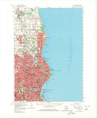
2022 Map of Milwaukee
USGS Topo · Published 2022About this map
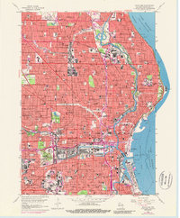
Lake Michigan defines the eastern edge of this urban landscape, where the confluence of the Milwaukee River, Menomonee River, and Kinnickinnic River shaped the city's industrial and maritime identity. The complex shoreline at Jones Island and the Milwaukee Municipal Mooring Basin highlights a legacy of shipping and trade, while the inland grid is punctuated by significant institutional grounds. Prominent educational centers such as Marquette University and the University of Wisconsin - Milwaukee are central to the city's modern layout.
Find a feature on this map
51 named features on this map. Tap any name to fly to it.
Don’t see what you’re looking for? This feature index may not catch every label — zoom into the map to look around manually.
Map Details
Editions of this 2022 Milwaukee Map
This is the sole edition of this map. No revisions or reprints were ever made.
Historical Maps of West Milwaukee Through Time
9 maps found
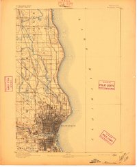
1892 Milwaukee
Milwaukee County, WI

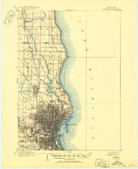
1901 Milwaukee
Milwaukee County, WI
1906 Milwaukee
Milwaukee County, WI
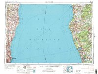
1954 Milwaukee
Milwaukee County, WI

1958 Milwaukee
Milwaukee County, WI
1958 Milwaukee
Milwaukee County, WI
1958 Milwaukee
Milwaukee County, WI
1980 Milwaukee
Milwaukee County, WI
2022 Milwaukee
Milwaukee County, WI