
1958 Map of Milwaukee
USGS Topo · Published 1958About this map
Lake Michigan dominates this mid-century survey, illustrating the maritime and rail connections between the Wisconsin and Michigan shorelines. On the western shore, the industrial and residential expansion of Milwaukee is evident, stretching north through Shorewood, Whitefish Bay, and Glendale. Further north, Sheboygan and Port Washington serve as primary coastal anchors. The Michigan side presents a starkly different character, defined by the heavy timberlands of the Manistee National Forest and a series of glacial lakes including Pentwater Lake and White Lake.
Find a feature on this map
106 named features on this map. Tap any name to fly to it.
Don’t see what you’re looking for? This feature index may not catch every label — zoom into the map to look around manually.
Map Details
Editions of this 1958 Milwaukee Map
This is the sole edition of this map. No revisions or reprints were ever made.
Other maps of this area
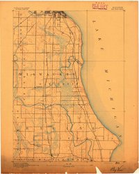
1891 · Bayview
USGS Topo · 1:62,500
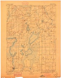
1891 · Muskego
USGS Topo · 1:62,500
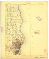
1892 · Milwaukee
USGS Topo · 1:62,500
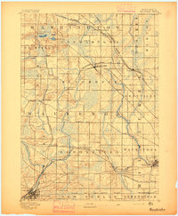
1892 · Waukesha
USGS Topo · 1:62,500
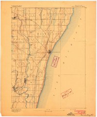
1892 · Port Washington
USGS Topo · 1:62,500
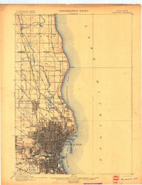
1901 · Milwaukee
USGS Topo · 1:62,500
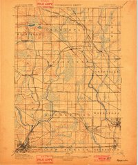
1901 · Waukesha
USGS Topo · 1:62,500
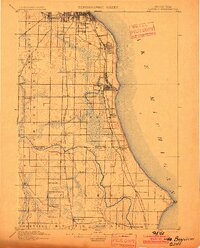
1901 · Bayview
USGS Topo · 1:62,500
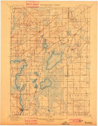
1901 · Muskego
USGS Topo · 1:62,500
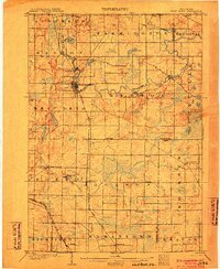
1904 · West Bend
USGS Topo · 1:62,500