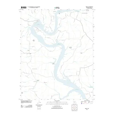
2012 Map of Mincy
USGS Topo · Published 2012About this map
Bull Shoals Lake dominates the central landscape of this Taney County region, its winding arms reaching into numerous hollows and along the edges of the Mincy Public Hunting Area. This southern Missouri terrain is defined by its dramatic relief, from the heights of Mays Bluff to the sheltered depths of Wolf Hollow and Fox Creek Hollow. The settlement of Mincy serves as a small hub amidst a network of rural roads such as Mincy Ln and Moores Bend Rd. For those researching local heritage, the map identifies several remote burial grounds, including Mincy Cemetery, Cobles Cemetery, and the Bee Creek Cemetery located near the southern boundary. The presence of private airfields like Misty Meadows Airport and Someday Ranch Airport underscores the modern accessibility of this otherwise secluded woodland and lakeside environment.
Find a feature on this map
66 named features on this map. Tap any name to fly to it.
Don’t see what you’re looking for? This feature index may not catch every label — zoom into the map to look around manually.
Map Details
Editions of this 2012 Mincy Map
This is the sole edition of this map. No revisions or reprints were ever made.
Other maps of this area

1893 · Yellville
USGS Topo · 1:125,000

1903 · Yellville
USGS Topo · 1:125,000

1904 · Harrison
USGS Topo · 1:125,000

1905 · Harrison
USGS Topo · 1:125,000

1905 · Yellville
USGS Topo · 1:125,000

1907 · Forsyth
USGS Topo · 1:125,000

1929 · Yellville
USGS Topo · 1:125,000

1943 · Protem
USGS Topo · 1:62,500

1945 · Harrison
USGS Topo · 1:250,000

1949 · Harrison
USGS Topo · 1:250,000