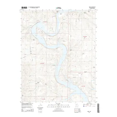
2015 Map of Mincy
USGS Topo · Published 2015About this map
Bull Shoals Lake dominates this Taney County landscape, its winding shoreline creating a complex geography of bluffs and hollows. The small settlement of Mincy serves as a local anchor near the center of the quadrangle, surrounded by several family and community burial grounds including Mincy Cemetery, Booth Cemetery, and Bee Creek Cemetery. These sites, along with Cobles Cemetery to the east, provide significant points of interest for those researching the genealogy of the Ozarks.
Find a feature on this map
70 named features on this map. Tap any name to fly to it.
Don’t see what you’re looking for? This feature index may not catch every label — zoom into the map to look around manually.
Map Details
Editions of this 2015 Mincy Map
This is the sole edition of this map. No revisions or reprints were ever made.
Other maps of this area

1893 · Yellville
USGS Topo · 1:125,000

1903 · Yellville
USGS Topo · 1:125,000

1904 · Harrison
USGS Topo · 1:125,000

1905 · Harrison
USGS Topo · 1:125,000

1905 · Yellville
USGS Topo · 1:125,000

1907 · Forsyth
USGS Topo · 1:125,000

1929 · Yellville
USGS Topo · 1:125,000

1943 · Protem
USGS Topo · 1:62,500

1945 · Harrison
USGS Topo · 1:250,000

1949 · Harrison
USGS Topo · 1:250,000