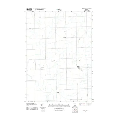
2011 Map of Minden City
USGS Topo · Published 2011About this map
Minden City serves as the primary hub in this portion of the Thumb region, situated near the intersection of Minden Rd and W Bay City Forestville Rd. The area is characterized by a dense network of country roads named for local families, including Maurer Rd, Leppek Rd, and McDonald Rd, which partition a landscape defined by significant water systems. The North Branch Cass River and South Fork Cass River originate and wind through the western section, while the Black River flows southward from the vicinity of Peatville. Religious and community history is anchored by sites such as Saint Mary's Catholic Cemetery in Parisville and Saint Patricks Cemetery to the south. This survey illustrates the enduring agricultural layout of Sanilac County, where small settlements like Peatville and Parisville remain centered around key intersections and parish grounds.
Find a feature on this map
42 named features on this map. Tap any name to fly to it.
Don’t see what you’re looking for? This feature index may not catch every label — zoom into the map to look around manually.
Map Details
Editions of this 2011 Minden City Map
This is the sole edition of this map. No revisions or reprints were ever made.
Other maps of this area

1954 · Flint
USGS Topo · 1:250,000

1958 · Flint
USGS Topo · 1:250,000

1963 · Ruth
USGS Topo · 1:24,000

1963 · Ubly
USGS Topo · 1:24,000

1963 · Minden City
USGS Topo · 1:24,000

1963 · Palms
USGS Topo · 1:24,000

1963 · Deckerville
USGS Topo · 1:24,000

1963 · Argyle
USGS Topo · 1:24,000

1970 · Harbor Beach
USGS Topo · 1:24,000

1970 · Bad Axe SE
USGS Topo · 1:24,000