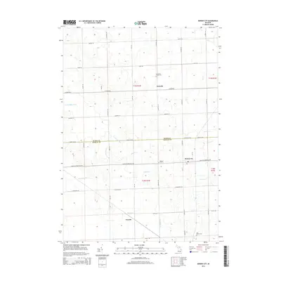
2014 Map of Minden City
USGS Topo · Published 2014About this map
Minden City serves as the central hub of this agricultural landscape along the boundary shared by Huron Co and Sanilac Co in the Michigan Thumb. The survey highlights a highly developed drainage and road system essential to the region's farming heritage, defined by features like the Darlington Drain and Lloyd Drain. Small settlements such as Parisville and Peatville anchor the surrounding rural sections, often centered around local landmarks like Saint Mary's Catholic Cem or Saint Patricks Cem.
Find a feature on this map
48 named features on this map. Tap any name to fly to it.
Don’t see what you’re looking for? This feature index may not catch every label — zoom into the map to look around manually.
Map Details
Editions of this 2014 Minden City Map
This is the sole edition of this map. No revisions or reprints were ever made.
Other maps of this area

1954 · Flint
USGS Topo · 1:250,000

1958 · Flint
USGS Topo · 1:250,000

1963 · Ruth
USGS Topo · 1:24,000

1963 · Ubly
USGS Topo · 1:24,000

1963 · Minden City
USGS Topo · 1:24,000

1963 · Palms
USGS Topo · 1:24,000

1963 · Deckerville
USGS Topo · 1:24,000

1963 · Argyle
USGS Topo · 1:24,000

1970 · Harbor Beach
USGS Topo · 1:24,000

1970 · Bad Axe SE
USGS Topo · 1:24,000