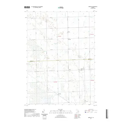
2019 Map of Minden City
USGS Topo · Published 2019About this map
Minden City sits at the intersection of local history and agricultural drainage near the Huron Co Sanilac Co line. This landscape is defined by its extensive network of named waterways, including the White River, Black River, and S Fork Cass River, alongside numerous artificial channels like Grifka Drain and Lloyd Drain. These systems reflect the region's long-standing focus on land reclamation for farming. The settlement of Parisville and the smaller Peatville serve as regional anchors, with Saint Mary's Catholic Cem and Saint Patricks Cem providing essential points for genealogical research. The grid of rural roads, such as Bay City Forestville Rd and Minden Rd, connects these scattered communities and religious sites across the flat terrain of the Thumb region.
Find a feature on this map
59 named features on this map. Tap any name to fly to it.
Don’t see what you’re looking for? This feature index may not catch every label — zoom into the map to look around manually.
Map Details
Editions of this 2019 Minden City Map
This is the sole edition of this map. No revisions or reprints were ever made.
Other maps of this area

1954 · Flint
USGS Topo · 1:250,000

1958 · Flint
USGS Topo · 1:250,000

1963 · Ruth
USGS Topo · 1:24,000

1963 · Ubly
USGS Topo · 1:24,000

1963 · Minden City
USGS Topo · 1:24,000

1963 · Palms
USGS Topo · 1:24,000

1963 · Deckerville
USGS Topo · 1:24,000

1963 · Argyle
USGS Topo · 1:24,000

1970 · Harbor Beach
USGS Topo · 1:24,000

1970 · Bad Axe SE
USGS Topo · 1:24,000