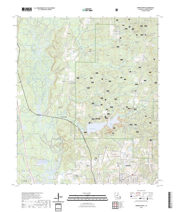
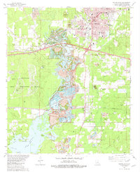
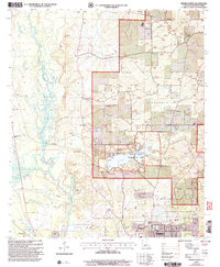
2024 Map of Minden North
USGS Topo · Published 2024About this map
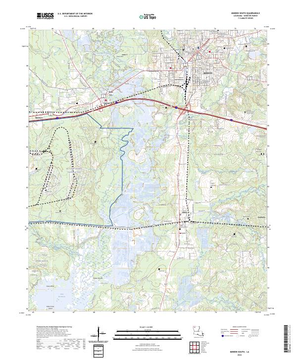
Minden marks the southern boundary of this region, where the urban street grid gives way to the dense woodlands of the Kisatchie National Forest. The landscape is defined by the winding course of Bayou Dorcheat and a series of smaller waterways like Fiddler Creek and Caney Creek. To the north, the terrain transitions into a patchwork of rural homesteads and family settlements, evidenced by numerous small cemeteries such as Monzingo Cem, Shady Grove Cem, and Walker Cem.
Find a feature on this map
66 named features on this map. Tap any name to fly to it.
Don’t see what you’re looking for? This feature index may not catch every label — zoom into the map to look around manually.
Map Details
Editions of this 2024 Minden North Map
This is the sole edition of this map. No revisions or reprints were ever made.
Historical Maps of Dorcheat Through Time
13 maps found
1981 Hortman
Webster Parish, LA
1981 Leton
Webster Parish, LA
1981 Minden North
Webster Parish, LA
1981 Minden South
Webster Parish, LA
1986 Ada
Webster Parish, LA
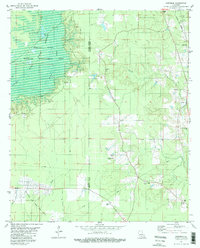
1998 Minden South
Webster Parish, LA
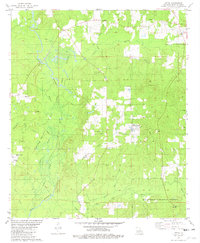
2003 Leton
Webster Parish, LA
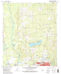
2003 Minden North
Webster Parish, LA
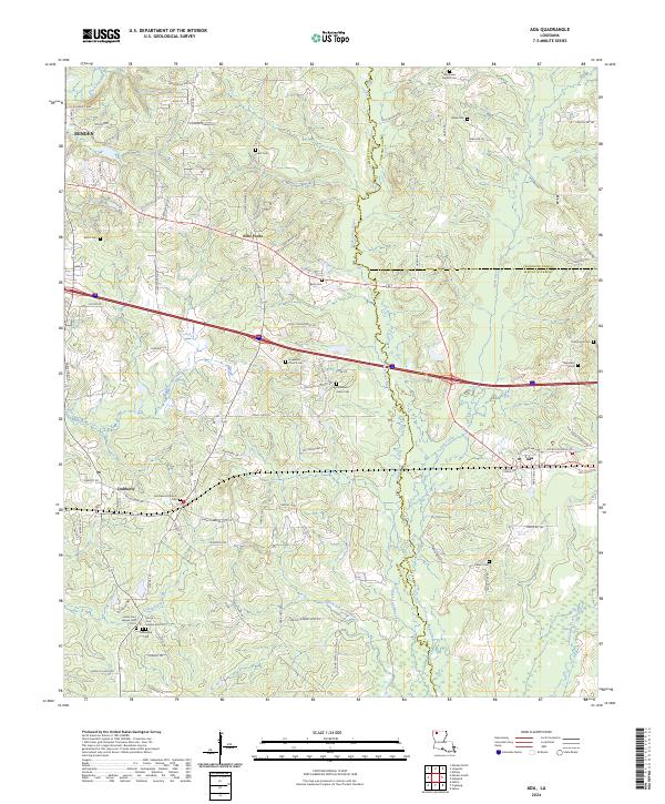
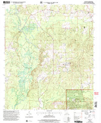
2024 Ada
Webster Parish, LA
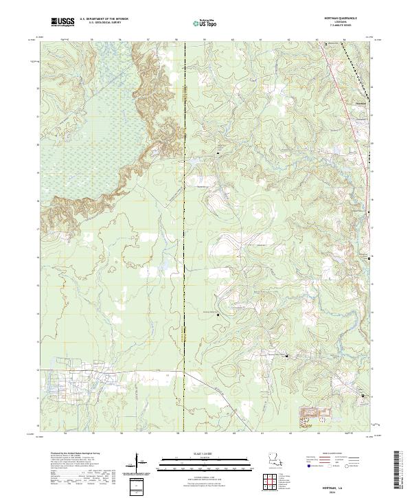
2024 Hortman
Webster Parish, LA
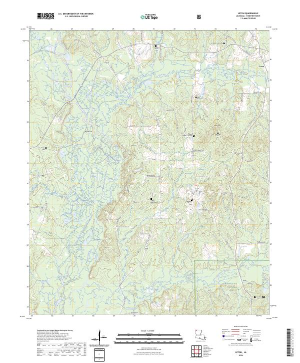
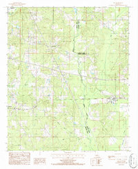
2024 Leton
Webster Parish, LA
2024 Minden North
Webster Parish, LA
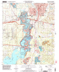
2024 Minden South
Webster Parish, LA