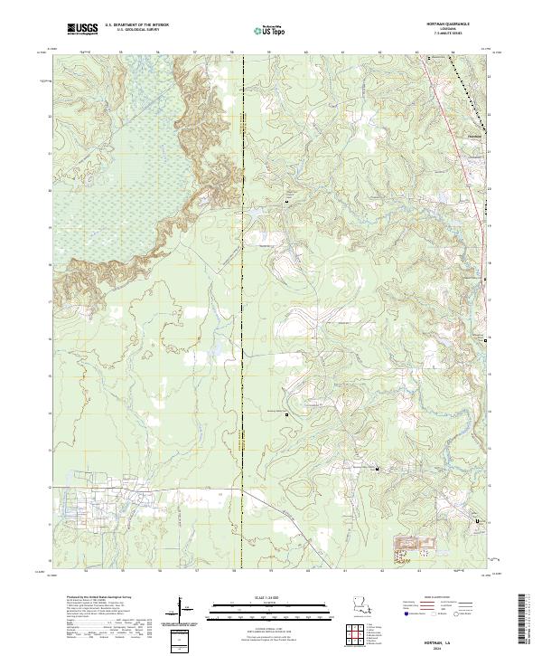
2024 Map of Hortman
USGS Topo · Published 2024About this map
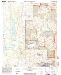
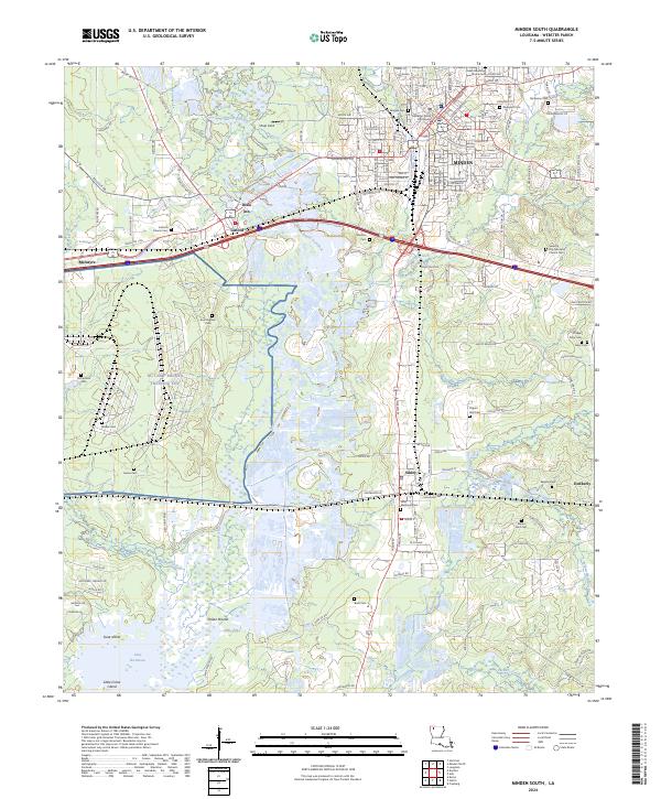
The parish line between Bossier Parish and Webster Parish divides this rural landscape, defined by the winding course of Bodcau Creek and Clarke Bayou. The small settlement of Hortman sits in the northeast corner at the intersection of Hortman Rd and Couchwood Rd. The area is notably characterized by its dispersed religious and memorial sites, including Bright Star Church and its associated cemetery, which serve as community anchors.
Find a feature on this map
44 named features on this map. Tap any name to fly to it.
Don’t see what you’re looking for? This feature index may not catch every label — zoom into the map to look around manually.
Map Details
Editions of this 2024 Hortman Map
This is the sole edition of this map. No revisions or reprints were ever made.
Historical Maps of Hortman Through Time
33 maps found
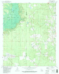
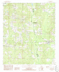
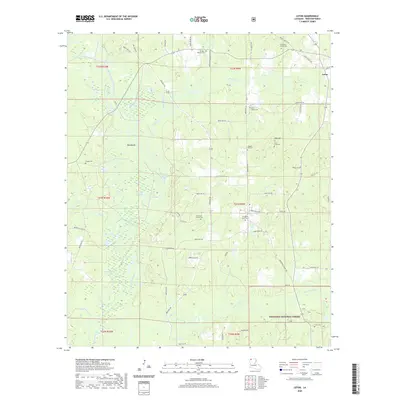
1981 Hortman
Webster Parish, LA
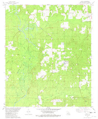
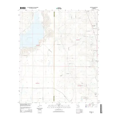
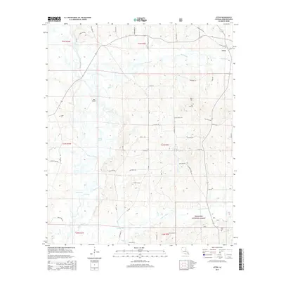
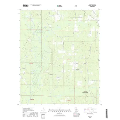
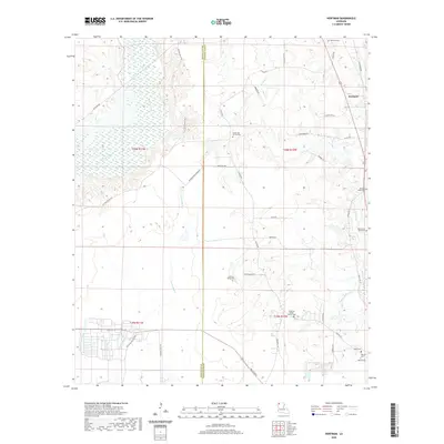
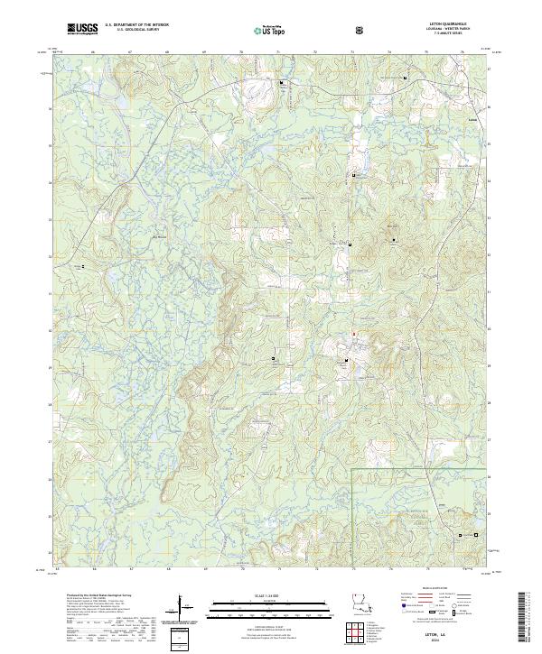
1981 Leton
Webster Parish, LA
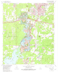
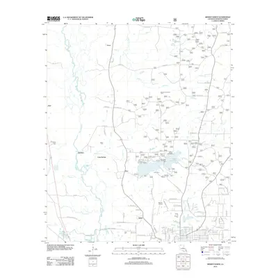
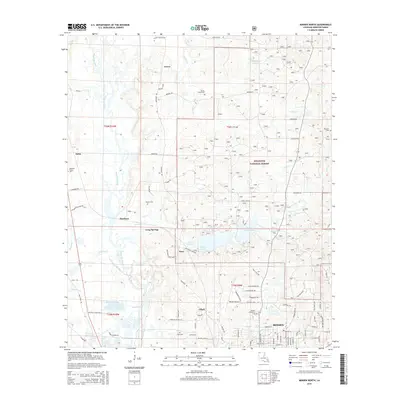
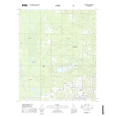
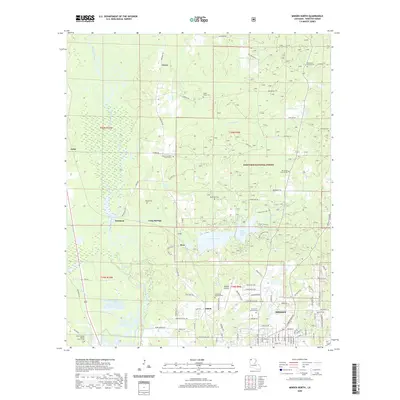
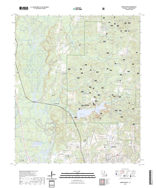
1981 Minden North
Webster Parish, LA
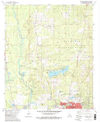
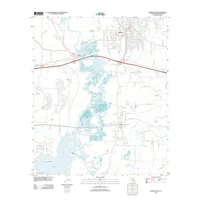
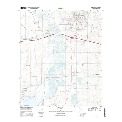
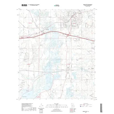
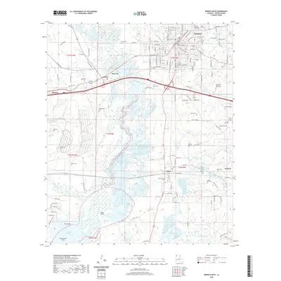
1981 Minden South
Webster Parish, LA
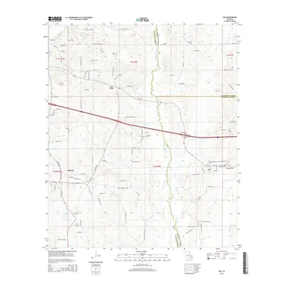
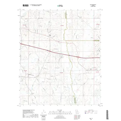
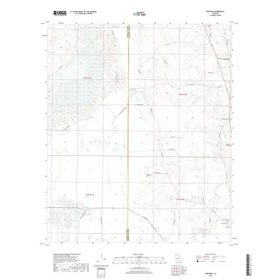
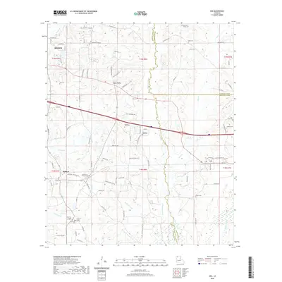
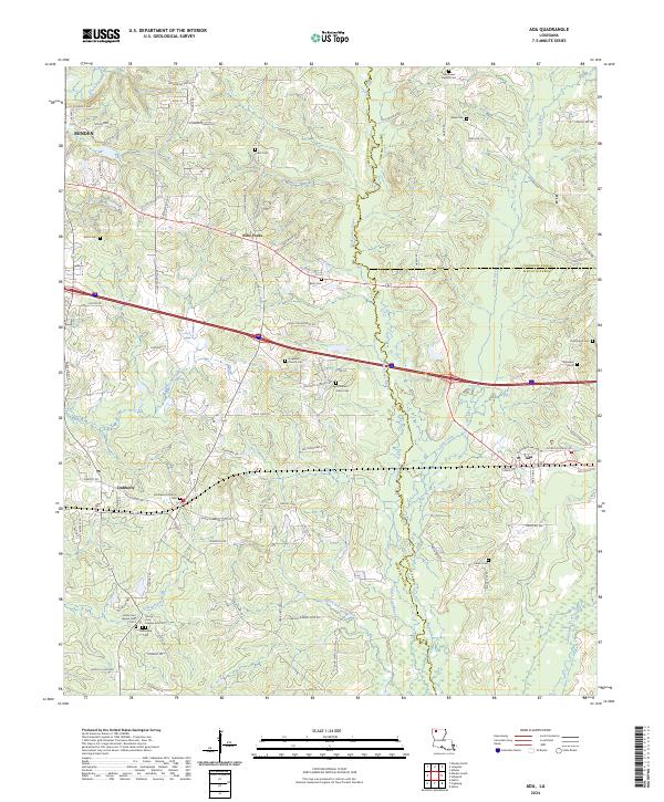
1986 Ada
Webster Parish, LA
1998 Minden South
Webster Parish, LA
2003 Leton
Webster Parish, LA
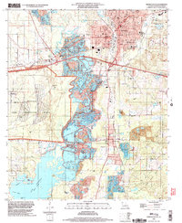
2003 Minden North
Webster Parish, LA
2012 Ada
Webster Parish, LA
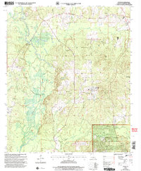
2012 Hortman
Webster Parish, LA
2012 Leton
Webster Parish, LA
2012 Minden North
Webster Parish, LA
2012 Minden South
Webster Parish, LA
2015 Ada
Webster Parish, LA
2015 Hortman
Webster Parish, LA
2015 Leton
Webster Parish, LA
2015 Minden North
Webster Parish, LA
2015 Minden South
Webster Parish, LA
2018 Ada
Webster Parish, LA
2018 Hortman
Webster Parish, LA
2018 Leton
Webster Parish, LA
2018 Minden North
Webster Parish, LA
2018 Minden South
Webster Parish, LA
2020 Ada
Webster Parish, LA
2020 Hortman
Webster Parish, LA
2020 Leton
Webster Parish, LA
2020 Minden North
Webster Parish, LA
2020 Minden South
Webster Parish, LA
2024 Ada
Webster Parish, LA
2024 Hortman
Webster Parish, LA
2024 Leton
Webster Parish, LA
2024 Minden North
Webster Parish, LA
2024 Minden South
Webster Parish, LA