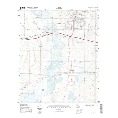
2015 Map of Minden South
USGS Topo · Published 2015About this map
Minden's southern landscape is defined by the convergence of transportation and topography in southern Webster Parish. The sprawling reach of Bayou Dorcheat winds through the center of the map, creating a complex wetland environment that feeds into the northern reaches of Lake Bistineau. This waterway historically served as a critical corridor, and its presence here alongside the Kansas City Southern railroad highlights the dual nature of regional transit. Near the banks of the bayou, an Indian Mound stands as a significant cultural landmark, anchoring the area's deep history.
Find a feature on this map
135 named features on this map. Tap any name to fly to it.
Don’t see what you’re looking for? This feature index may not catch every label — zoom into the map to look around manually.
Map Details
Editions of this 2015 Minden South Map
This is the sole edition of this map. No revisions or reprints were ever made.
Other maps of this area

1947 · Ringgold
USGS Topo · 1:62,500

1947 · Minden
USGS Topo · 1:62,500

1948 · Jamestown
USGS Topo · 1:62,500

1949 · Jamestown
USGS Topo · 1:62,500

1949 · Minden
USGS Topo · 1:62,500

1949 · Gibsland
USGS Topo · 1:62,500

1950 · Gibsland
USGS Topo · 1:62,500

1955 · Shreveport
USGS Topo · 1:250,000

1956 · Shreveport
USGS Topo · 1:250,000

1956 · Ringgold
USGS Topo · 1:62,500