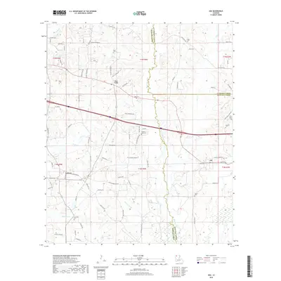
2018 Map of Ada
USGS Topo · Published 2018About this map
Black Lake Bayou and Bear Cr dominate the north-central Louisiana landscape, winding through a region defined by the convergence of Webster, Claiborne, and Bienville Parishes. The settlement at Nine Forks serves as a local crossroads, while Ada and Dubberly anchor the southern portions of the territory. The map is densely populated with sites of genealogical importance, featuring numerous family and community burial grounds such as Fuller Cem, Gilgal Cem, and Holoman-Jones Cem. The presence of Fellowship Cem and Fellowship Br suggests a historical focal point for community gathering. To the east, Leatherwood Cr and Brushy Cr drain the timbered tracts, illustrating a rural landscape where small-scale agriculture and timber once defined the local economy before modern infrastructure reoriented the travel patterns along Old Arcadia Rd.
Find a feature on this map
88 named features on this map. Tap any name to fly to it.
Don’t see what you’re looking for? This feature index may not catch every label — zoom into the map to look around manually.
Map Details
Editions of this 2018 Ada Map
This is the sole edition of this map. No revisions or reprints were ever made.
Other maps of this area

1947 · Ringgold
USGS Topo · 1:62,500

1947 · Minden
USGS Topo · 1:62,500

1948 · Jamestown
USGS Topo · 1:62,500

1949 · Jamestown
USGS Topo · 1:62,500

1949 · Minden
USGS Topo · 1:62,500

1949 · Gibsland
USGS Topo · 1:62,500

1950 · Gibsland
USGS Topo · 1:62,500

1955 · Shreveport
USGS Topo · 1:250,000

1956 · Shreveport
USGS Topo · 1:250,000

1956 · Ringgold
USGS Topo · 1:62,500