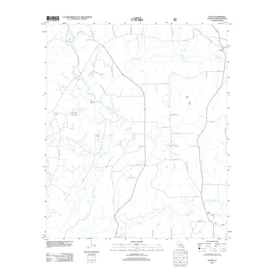
2012 Map of Leton
USGS Topo · Published 2012About this map
Bayou Dorcheat meanders through this landscape in Webster and Claiborne Parishes, defining a terrain of wetlands and rising ground. The extraction legacy of the region is evident at the Cotton Valley Oil and Gas Field, while the small settlement of Leton sits at the junction of HWY 160 and local routes. Genealogists can locate several burial grounds, including Saint Luke Cem near Bull Hill and Hodge Cem further west. The map shows an intricate drainage network where Flat Lick Bayou and Cañon Cr flow through the southern reach. The naming of roads like Evergreen School Rd and Fire Tower Rd reflects the rural infrastructure and former community centers that once dotted this corner of Louisiana.
Find a feature on this map
55 named features on this map. Tap any name to fly to it.
Don’t see what you’re looking for? This feature index may not catch every label — zoom into the map to look around manually.
Map Details
Editions of this 2012 Leton Map
This is the sole edition of this map. No revisions or reprints were ever made.
Other maps of this area

1922 · Sarepta
USGS Topo · 1:62,500

1924 · Sarepta
USGS Topo · 1:62,500

1947 · Minden
USGS Topo · 1:62,500

1949 · Minden
USGS Topo · 1:62,500

1949 · Gibsland
USGS Topo · 1:62,500

1950 · Gibsland
USGS Topo · 1:62,500

1952 · Homer
USGS Topo · 1:62,500

1955 · Shreveport
USGS Topo · 1:250,000

1956 · Shreveport
USGS Topo · 1:250,000

1956 · Sarepta
USGS Topo · 1:62,500