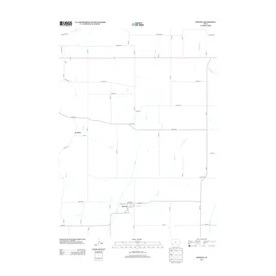
2013 Map of Mineola
USGS Topo · Published 2013About this map
Mineola sits at the heart of this rural landscape in Mills County, where the grid of agricultural roads is punctuated by the village's compact layout near Keg Cr. The town's structure remains centered on its original corridors, including Railroad St, Elm St, and Maple St. To the northwest, the settlement of Dumfries is situated along Pony Cr, connected to the wider region by Pioneer Trl. This portion of western Iowa is defined by its drainage patterns, with Snake Cr and Little Silver Cr cutting through the rolling terrain toward the larger Silver Cr basin. The map reflects a century-old rural character maintained into the modern era, where established section-line roads like 290th St and Cottonwood Rd serve as the primary framework for the local farming community.
Find a feature on this map
43 named features on this map. Tap any name to fly to it.
Don’t see what you’re looking for? This feature index may not catch every label — zoom into the map to look around manually.
Map Details
Editions of this 2013 Mineola Map
This is the sole edition of this map. No revisions or reprints were ever made.
Other maps of this area

1893 · Omaha
USGS Topo · 1:62,500

1954 · Omaha
USGS Topo · 1:250,000

1956 · Glenwood
USGS Topo · 1:24,000

1956 · Mineola
USGS Topo · 1:24,000

1956 · Council Bluffs North
USGS Topo · 1:24,000

1956 · Pacific Junction
USGS Topo · 1:24,000

1956 · Treynor
USGS Topo · 1:24,000

1956 · Mc Clelland
USGS Topo · 1:24,000

1956 · Council Bluffs South
USGS Topo · 1:24,000

1956 · Malvern
USGS Topo · 1:24,000