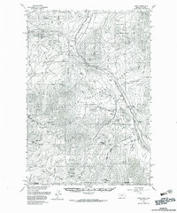
1955 Map of Miner
USGS Topo · Published 1983About this map
The Yellowstone River cuts a deep path through Yankee Jim Canyon, serving as the primary corridor for both the Northern Pacific railroad and early mountain settlements in the mid-1950s. This survey captures the high-altitude landscape where Gallatin National Forest meets the northern boundary of Yellowstone National Park. Evidence of local community life is preserved in the locations of the Miner Sch and Cinnabar Sch, while the mining and ranching history of the region is anchored by Aldridge and the OTO Ranch. Geologic landmarks such as the Devils Slide and the towering Electric Peak dominate the southern portion of the sheet. The map also identifies backcountry infrastructure like the Sportsman Patrol Cabin, providing a detailed look at the infrastructure required to manage these vast public lands before modern expansion.
Find a feature on this map
60 named features on this map. Tap any name to fly to it.
Don’t see what you’re looking for? This feature index may not catch every label — zoom into the map to look around manually.
Map Details
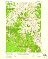
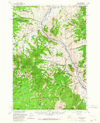
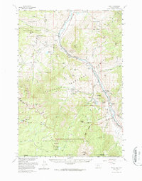
Editions of this 1955 Miner Map
4 editions found
Other maps of this area

1885 · Gallatin
USGS Topo · 1:125,000

1885 · Gallatin
USGS Topo · 1:125,000

1888 · Three Forks
USGS Topo · 1:250,000

1891 · Livingston
USGS Topo · 1:250,000

1893 · Livingston
USGS Topo · 1:250,000

1894 · Three Forks
USGS Topo · 1:250,000

1895 · Three Forks
USGS Topo · 1:250,000

1901 · Gallatin
USGS Topo · 1:125,000

1908 · Gallatin
USGS Topo · 1:125,000

1911 · Gallatin
USGS Topo · 1:125,000