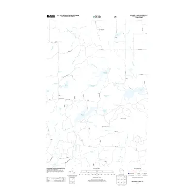
2013 Map of Mineral Lake
USGS Topo · Published 2013About this map
Mineral Lake and the southern slopes of the Gogebic Range anchor this 2013 study of the Northwoods landscape in Ashland County. This is a region defined by its water and forestry history, where the Brunsweiler River and numerous tributaries like Spring Brook and Trout Brook drain a dense network of glacial lakes including English Lake, Moquah Lake, and Beaverdam Lake. The elevation of the range provided strategic vantage points for fire protection, as seen at the Marengo Lookout Tower and the Mineral Lake Lookout Tower.
Find a feature on this map
49 named features on this map. Tap any name to fly to it.
Don’t see what you’re looking for? This feature index may not catch every label — zoom into the map to look around manually.
Map Details
Editions of this 2013 Mineral Lake Map
This is the sole edition of this map. No revisions or reprints were ever made.
Other maps of this area

1942 · Glidden
USGS Topo · 1:48,000

1942 · Clam Lake
USGS Topo · 1:48,000

1942 · Mellen
USGS Topo · 1:48,000

1942 · Marengo
USGS Topo · 1:48,000

1945 · Marengo
USGS Topo · 1:48,000

1945 · Clam Lake
USGS Topo · 1:48,000

1945 · Glidden
USGS Topo · 1:48,000

1945 · Mellen
USGS Topo · 1:48,000

1953 · Ashland
USGS Topo · 1:250,000
1956 · Mellen
USGS Topo · 1:24,000