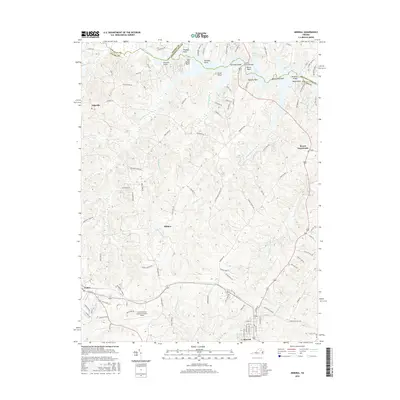
2016 Map of Mineral
USGS Topo · Published 2016About this map
Louisa and Mineral anchor the southern reach of this Louisa County landscape, where the modern transport hub of Louisa County Airport/Freeman Field sits between established settlements. The northern geography is defined by the complex, jagged shoreline of Lake Anna, created from the North Anna River. This water-dominant terrain is marked by numerous family-named landmarks including Hellems Point, Bazzanella Point, and Waddys Point.
Find a feature on this map
111 named features on this map. Tap any name to fly to it.
Don’t see what you’re looking for? This feature index may not catch every label — zoom into the map to look around manually.
Map Details
Editions of this 2016 Mineral Map
This is the sole edition of this map. No revisions or reprints were ever made.
Other maps of this area

1887 · Spottsylvania
USGS Topo · 1:125,000

1890 · Goochland
USGS Topo · 1:125,000

1891 · Palmyra
USGS Topo · 1:125,000

1892 · Spottsylvania
USGS Topo · 1:125,000

1892 · Goochland
USGS Topo · 1:125,000

1892 · Gordonsville
USGS Topo · 1:125,000

1895 · Palmyra
USGS Topo · 1:125,000

1897 · Palmyra
USGS Topo · 1:125,000

1942 · Mineral
USGS Topo · 1:31,680

1942 · Lahore
USGS Topo · 1:31,680