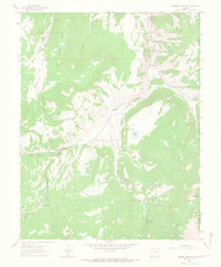
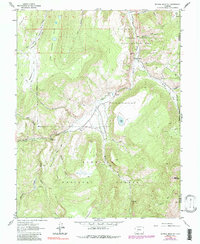
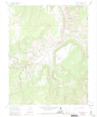
1963 Map of Mineral Mountain
USGS Topo · Published 1966About this map
Mineral Mountain anchors this high-elevation landscape in the Gunnison National Forest as it appeared in the early 1960s. The topography is defined by the deep carving of Cebolla Creek and its many tributaries, such as Calf Creek and Martinez Creek. A notable historical detail is the location of Cathedral (Aband) near the confluence of Cathedral Creek and Cebolla Creek, indicating a site of previous human activity that had faded by the time of the survey.
Find a feature on this map
37 named features on this map. Tap any name to fly to it.
Don’t see what you’re looking for? This feature index may not catch every label — zoom into the map to look around manually.
Map Details
Editions of this 1963 Mineral Mountain Map
6 editions found
Other maps of this area

1905 · San Cristobal
USGS Topo · 1:125,000

1907 · San Cristobal
USGS Topo · 1:125,000

1908 · Uncompahgre
USGS Topo · 1:125,000

1911 · Uncompahgre
USGS Topo · 1:125,000

1914 · Creede
USGS Topo · 1:125,000

1916 · Creede
USGS Topo · 1:125,000

1945 · Durango
USGS Topo · 1:250,000

1953 · Durango
USGS Topo · 1:250,000

1954 · Durango
USGS Topo · 1:250,000

1956 · Montrose
USGS Topo · 1:250,000