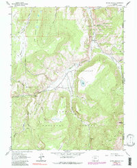
1963 Map of Mineral Mountain
USGS Topo · Published 1991About this map
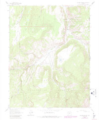
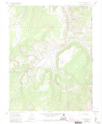
Gunnison National Forest dominates this high-altitude landscape in Hinsdale County, where water and topography dictate the movement of travelers and wildlife. The drainage of Cebolla Creek serves as a primary corridor, supporting the Cebolla Campground and Spruce Campground for early 1960s visitors. The map reveals an intricate network of specialized transport, including the Powderhorn Trail and the evocatively named Robbers Roost Jeep Trail, illustrating how the area remained accessible primarily to those on horseback or in rugged vehicles. Significant landmarks like Mineral Mountain and the steep walls of Fish Canyon define the area's verticality. Evidence of land management is clear through the Cebolla State Wildlife Area and the small settlement of Cathedral, while labels like Corral and Mineral Park hint at the historical overlap of ranching and prospecting in these remote basins.
Find a feature on this map
34 named features on this map. Tap any name to fly to it.
Don’t see what you’re looking for? This feature index may not catch every label — zoom into the map to look around manually.
Map Details
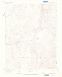
Editions of this 1963 Mineral Mountain Map
6 editions found
Other maps of this area

1905 · San Cristobal
USGS Topo · 1:125,000

1907 · San Cristobal
USGS Topo · 1:125,000

1908 · Uncompahgre
USGS Topo · 1:125,000

1911 · Uncompahgre
USGS Topo · 1:125,000

1914 · Creede
USGS Topo · 1:125,000

1916 · Creede
USGS Topo · 1:125,000

1945 · Durango
USGS Topo · 1:250,000

1953 · Durango
USGS Topo · 1:250,000

1954 · Durango
USGS Topo · 1:250,000

1956 · Montrose
USGS Topo · 1:250,000