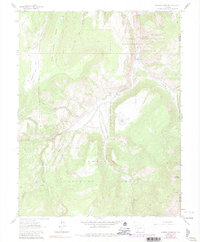
1963 Map of Mineral Mountain
USGS Topo · Published 1991About this map
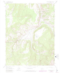
Cebolla Creek winds through this high-elevation landscape on the border of Hinsdale and Saguache counties, where the Cebolla State Wildlife Area meets the northern reaches of the Gunnison National Forest. The map documents a territory defined by complex drainage systems, including Fish Canyon, Wood Gulch, and the steep terrain surrounding the namesake Mineral Mountain. Early transit and recreational use are evidenced by the presence of the Powderhorn Trail, numerous unnamed jeep and pack trails, and established sites like Spruce Campground and Cebolla Campground. Local landmarks such as the Robbers Roost and the formation known simply as Cathedral highlight the distinct character of this area. The survey also captures the hydrological detail of the region, from the seasonal Dry Lake to several spring-fed watercourses like Pasture Creek and Martinez Creek.
Find a feature on this map
31 named features on this map. Tap any name to fly to it.
Don’t see what you’re looking for? This feature index may not catch every label — zoom into the map to look around manually.
Map Details
Editions of this 1963 Mineral Mountain Map
6 editions found
Other maps of this area

1905 · San Cristobal
USGS Topo · 1:125,000

1907 · San Cristobal
USGS Topo · 1:125,000

1908 · Uncompahgre
USGS Topo · 1:125,000

1911 · Uncompahgre
USGS Topo · 1:125,000

1914 · Creede
USGS Topo · 1:125,000

1916 · Creede
USGS Topo · 1:125,000

1945 · Durango
USGS Topo · 1:250,000

1953 · Durango
USGS Topo · 1:250,000

1954 · Durango
USGS Topo · 1:250,000

1956 · Montrose
USGS Topo · 1:250,000