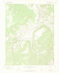
1963 Map of Mineral Mountain
USGS Topo · Published 1973About this map
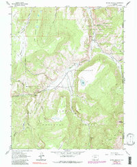
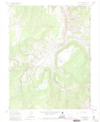
Gunnison National Forest terrain dominates this 1963 survey of the high-elevation backcountry in Hinsdale County. The landscape is defined by the deep incision of Fish Creek Canyon and the high point of Mineral Mountain, while human activity is limited to recreational and historic access routes. A network of primitive paths, including the Robbers Roost Trail and various unnamed Jeep Trails, provides the only ingress into these remote drainages.
Find a feature on this map
32 named features on this map. Tap any name to fly to it.
Don’t see what you’re looking for? This feature index may not catch every label — zoom into the map to look around manually.
Map Details
Editions of this 1963 Mineral Mountain Map
6 editions found
Other maps of this area

1905 · San Cristobal
USGS Topo · 1:125,000

1907 · San Cristobal
USGS Topo · 1:125,000

1908 · Uncompahgre
USGS Topo · 1:125,000

1911 · Uncompahgre
USGS Topo · 1:125,000

1914 · Creede
USGS Topo · 1:125,000

1916 · Creede
USGS Topo · 1:125,000

1945 · Durango
USGS Topo · 1:250,000

1953 · Durango
USGS Topo · 1:250,000

1954 · Durango
USGS Topo · 1:250,000

1956 · Montrose
USGS Topo · 1:250,000