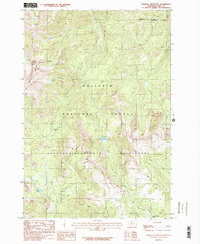
1987 Map of Mineral Mountain
USGS Topo · Published 1987About this map
Mineral Mountain and the high-altitude drainage systems of the Gallatin National Forest define this 1987 provisional survey. The landscape is characterized by a dense network of watercourses, including the north-flowing Arrastra Creek, Coffee Pot Creek, and the West Fork Mill Creek. These headwaters emerge from a series of remote basins, many of which contain small, named water bodies like Arrastra Lake, Lonesome Pond, and Thompson Lake.
Find a feature on this map
17 named features on this map. Tap any name to fly to it.
Don’t see what you’re looking for? This feature index may not catch every label — zoom into the map to look around manually.
Map Details
Editions of this 1987 Mineral Mountain Map
2 editions found
Other maps of this area

1891 · Livingston
USGS Topo · 1:250,000

1893 · Livingston
USGS Topo · 1:250,000

1940 · Mt. Cowen
USGS Topo · 1:62,500

1940 · Mt Wallace
USGS Topo · 1:62,500

1943 · Mt Wallace
USGS Topo · 1:62,500

1943 · Mt Cowen
USGS Topo · 1:62,500

1947 · Bozeman
USGS Topo · 1:250,000

1948 · Bozeman
USGS Topo · 1:250,000

1955 · Bozeman
USGS Topo · 1:250,000

1955 · Emigrant
USGS Topo · 1:62,500