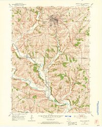
1952 Map of Mineral Point
USGS Topo · Published 1973About this map
Mineral Point sits at the heart of this early 1950s survey, a city deeply shaped by the lead-mining boom that defined Southwest Wisconsin's early development. The landscape is characterized by the winding path of the Chicago Milwaukee St Paul and Pacific railroad, which follows the drainage of Brewery Creek through the town center. Local community life is documented through features like the County Fairgrounds, Soldiers Memorial Park, and several denominational landmarks including St Marys Cem and Graceland Cem.
Find a feature on this map
29 named features on this map. Tap any name to fly to it.
Don’t see what you’re looking for? This feature index may not catch every label — zoom into the map to look around manually.
Map Details
Editions of this 1952 Mineral Point Map
3 editions found
Other maps of this area

1902 · Mineral Point
USGS Topo · 1:125,000

1952 · Calamine
USGS Topo · 1:24,000

1952 · Mineral Point
USGS Topo · 1:24,000

1952 · Dodgeville
USGS Topo · 1:24,000

1952 · Belmont
USGS Topo · 1:24,000

1952 · Linden
USGS Topo · 1:24,000

1952 · Mifflin
USGS Topo · 1:24,000

1959 · Dubuque
USGS Topo · 1:250,000

1961 · Dubuque
USGS Topo · 1:250,000

1962 · Dubuque
USGS Topo · 1:250,000