
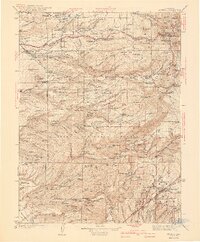
1941 Map of Mineral
USGS Topo · Published 1941About this map
Lassen Volcanic National Park and the adjacent Lassen National Forest dominate this landscape, where the volcanic peaks of Brokeoff Mtn and Black Butte rise above a network of hydroelectric and timber infrastructure. The map documents the early 20th-century development of the North Fork Battle Creek watershed, featuring the Volta Power House and Inskip Power House alongside various mountain schools like Sierra Sch and Lane Valley Sch.
Find a feature on this map
158 named features on this map. Tap any name to fly to it.
Don’t see what you’re looking for? This feature index may not catch every label — zoom into the map to look around manually.
Map Details
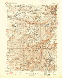
Editions of this 1941 Mineral Map
3 editions found
Other maps of this area

1886 · Lassen Peak
USGS Topo · 1:250,000

1888 · Bidwell Bar
USGS Topo · 1:125,000

1890 · Red Bluff
USGS Topo · 1:250,000

1891 · Bidwell Bar
USGS Topo · 1:125,000

1891 · Chico
USGS Topo · 1:125,000

1892 · Lassen Peak
USGS Topo · 1:250,000

1893 · Chico
USGS Topo · 1:125,000

1893 · Bidwell Bar
USGS Topo · 1:125,000

1894 · Lassen Peak
USGS Topo · 1:250,000

1894 · Red Bluff
USGS Topo · 1:250,000