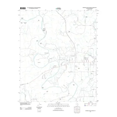
2012 Map of Mineral Wells West
USGS Topo · Published 2012About this map
The Brazos River creates a winding geography of deep bends and hollows in this 2012 survey, defining the landscape west of the city. Notable river features such as Hart Bend, Ballenger Bend, and Hittson Bend anchor the rural terrain, which is dotted with historical family landmarks including Locke Cem and Pollard Cem. The area around Coronados Camp and the southern slopes of Barber Mtn illustrate a transition from open country to the suburban fringes of the community. In the eastern portion of the map, the grid of residential streets near Lake Pinto and Flying U Airport contrasts with the remote character of Devils Hollow and Birdwell Hollow to the northwest. Modern infrastructure follows historical routes, with the E Bankhead Hwy traversing the valley floor through Pleasant Valley and near Indian Creek Cem.
Find a feature on this map
81 named features on this map. Tap any name to fly to it.
Don’t see what you’re looking for? This feature index may not catch every label — zoom into the map to look around manually.
Map Details
Editions of this 2012 Mineral Wells West Map
This is the sole edition of this map. No revisions or reprints were ever made.
Other maps of this area
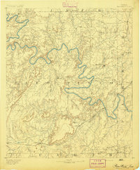
1891 · Palo Pinto
USGS Topo · 1:125,000
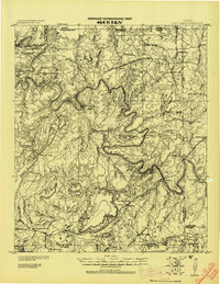
1918 · Palo Pinto
USGS Topo · 1:125,000
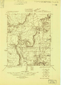
1924 · Palo Pinto 2-a
USGS Topo · 1:48,000
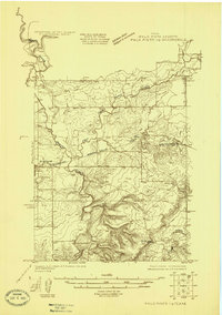
1924 · Palo Pinto 1-b
USGS Topo · 1:48,000
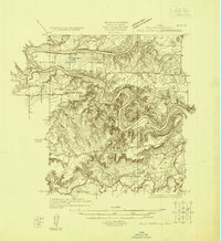
1925 · Palo Pinto 4-b
USGS Topo · 1:48,000
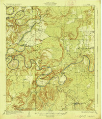
1927 · Pickwick
USGS Topo · 1:62,500
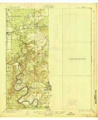
1927 · Mineral Wells
USGS Topo · 1:62,500
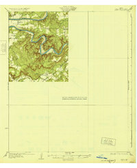
1931 · Santo
USGS Topo · 1:62,500

1954 · Abilene
USGS Topo · 1:250,000

1958 · Abilene
USGS Topo · 1:250,000