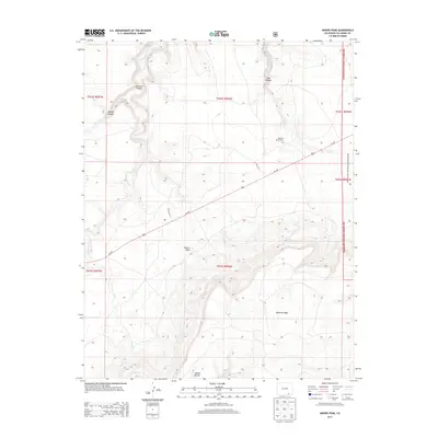
2013 Map of Miners Peak
USGS Topo · Published 2013About this map
Miners Peak rises as a prominent landmark in this portion of Las Animas County, overlooking a landscape defined by deep erosional features and high plains plateaus. The southeastern corner is dominated by the massive Mesa de Maya, while the northern reaches are carved by Chacuaco Canyon and Tobe Canyon. Human presence is sparse, centered around the Mesa De Maya Ranch and a network of county roads like Co RD 165.1 that navigate the terrain.
Find a feature on this map
19 named features on this map. Tap any name to fly to it.
Don’t see what you’re looking for? This feature index may not catch every label — zoom into the map to look around manually.
Map Details
Editions of this 2013 Miners Peak Map
This is the sole edition of this map. No revisions or reprints were ever made.
Other maps of this area

1891 · Mesa De Maya
USGS Topo · 1:125,000

1893 · Mesa de Maya
USGS Topo · 1:125,000

1955 · La Junta
USGS Topo · 1:250,000

1958 · La Junta
USGS Topo · 1:250,000

1968 · La Junta
USGS Topo · 1:250,000
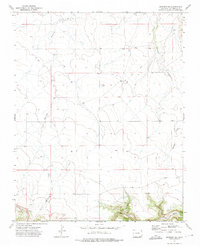
1972 · Branson SE
USGS Topo · 1:24,000
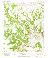
1972 · Cobert Mesa North
USGS Topo · 1:24,000

1972 · Miners Peak
USGS Topo · 1:24,000

1972 · Tobe
USGS Topo · 1:24,000

1972 · Doss Canyon South
USGS Topo · 1:24,000