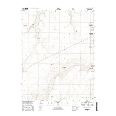
2016 Map of Miners Peak
USGS Topo · Published 2016About this map
Comanche National Grassland encompasses the eastern edge of this section of Las Animas County, where the high plains meet a complex system of drainage basins. The landscape is defined by its dramatic verticality, particularly around Miners Peak and the expansive Mesa de Maya in the southeast. These elevations overlook a network of deep incisions carved by Chacuaco Cr and Tobe Cr, creating the distinct landforms of Chacuaco Canyon, Tobe Canyon, and Aguaje Canyon. The map reveals a sparsely populated ranching environment where movement is dictated by the terrain, with routes like Co RD 157.9 and Co RD 165.1 navigating the level ground between the breaks. Features like Salazar Rincon suggest the local history of land usage in this arid, high-altitude environment during the early 21st century.
Find a feature on this map
17 named features on this map. Tap any name to fly to it.
Don’t see what you’re looking for? This feature index may not catch every label — zoom into the map to look around manually.
Map Details
Editions of this 2016 Miners Peak Map
This is the sole edition of this map. No revisions or reprints were ever made.
Other maps of this area

1891 · Mesa De Maya
USGS Topo · 1:125,000

1893 · Mesa de Maya
USGS Topo · 1:125,000

1955 · La Junta
USGS Topo · 1:250,000

1958 · La Junta
USGS Topo · 1:250,000

1968 · La Junta
USGS Topo · 1:250,000
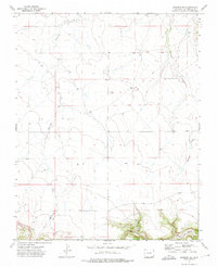
1972 · Branson SE
USGS Topo · 1:24,000
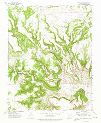
1972 · Cobert Mesa North
USGS Topo · 1:24,000

1972 · Miners Peak
USGS Topo · 1:24,000

1972 · Tobe
USGS Topo · 1:24,000

1972 · Doss Canyon South
USGS Topo · 1:24,000