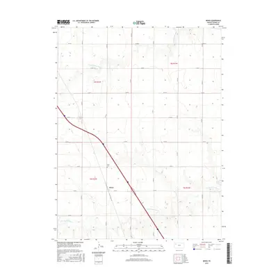
2015 Map of Mingo
USGS Topo · Published 2015About this map
Mingo serves as the central hub of this Thomas County landscape, situated along the diagonal path of Interstate 70. This 2015 survey illustrates a rural Kansas environment defined by a strict section-line road grid, including Co Rd K and Co Rd Q, which cut across the rolling drainage basins of two major waterways. The N Fork Solomon River meanders through the northern townships, while the S Fork Solomon River carves a similar path to the south. Local history is anchored by the Mingo Cem, located just northwest of the primary settlement. The map clearly delineates the township and range boundaries of t8s r33w and T9s R33w, providing a precise framework for understanding land ownership and agricultural distribution in the High Plains during the early 21st century.
Find a feature on this map
17 named features on this map. Tap any name to fly to it.
Don’t see what you’re looking for? This feature index may not catch every label — zoom into the map to look around manually.
Map Details
Editions of this 2015 Mingo Map
This is the sole edition of this map. No revisions or reprints were ever made.
Other maps of this area

1943 · Colby
USGS Topo · 1:62,500

1954 · Goodland
USGS Topo · 1:250,000

1956 · Goodland
USGS Topo · 1:250,000

1957 · Goodland
USGS Topo · 1:250,000

1967 · Colby SE
USGS Topo · 1:24,000

1967 · Colby
USGS Topo · 1:24,000

1972 · Winona NE
USGS Topo · 1:24,000
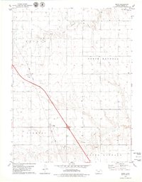
1979 · Mingo
USGS Topo · 1:24,000

1979 · Oakley North
USGS Topo · 1:24,000
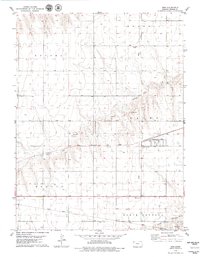
1979 · Gem
USGS Topo · 1:24,000