
1943 Map of Minim Island
USGS Topo · Published 1962About this map
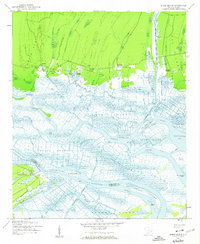
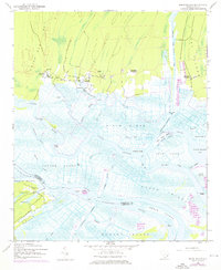
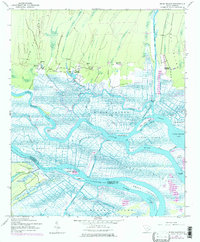
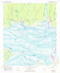
Rice Hope Plantation and Annandale Plantation anchor the northern edge of this coastal landscape where the North Santee River and South Santee River diverge toward the Atlantic. The intricate network of tidal waterways, including the Intracoastal Waterway and the Estherville Minim Creek Canal, reveals the complex hydrological management typical of South Carolina’s Lowcountry. In the 1940s, the boundary between Georgetown and Charleston counties ran directly through the vast Santee Swamp, a terrain dominated by numerous named landmasses like Minim Island and Murphy Island. The presence of Rice Hope Ch and Bethel Ch near the plantations highlights the established social structures of these rural riverfront communities. This survey, based on 1942 aerial photography, captures the region just as the southern reaches of the Francis Marion National Forest were being formally defined against the marshes of North Santee Bay.
Find a feature on this map
47 named features on this map. Tap any name to fly to it.
Don’t see what you’re looking for? This feature index may not catch every label — zoom into the map to look around manually.
Map Details
Editions of this 1943 Minim Island Map
5 editions found
Other maps of this area

1942 · Cape Romain
USGS Topo · 1:24,000

1942 · Mc Clellanville
USGS Topo · 1:24,000

1942 · Santee Point
USGS Topo · 1:24,000

1942 · North Island
USGS Topo · 1:24,000

1943 · Kilsock Bay
USGS Topo · 1:24,000

1943 · Santee
USGS Topo · 1:24,000

1943 · Georgetown South
USGS Topo · 1:24,000

1947 · Georgetown South
USGS Topo · 1:24,000

1949 · Georgetown
USGS Topo · 1:250,000

1967 · Georgetown
USGS Topo · 1:250,000