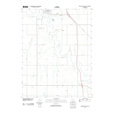
2009 Map of Minneapolis South
USGS Topo · Published 2009About this map
The Solomon River meanders across the northern landscape, anchoring the community of Minneapolis and the nearby settlement of Lindsey. This 2009 survey by the U.S. Geological Survey illustrates a region defined by its waterway network, where numerous tributaries like Salt Creek, Pipe Creek, and Battle Creek drain into the primary river valley. The infrastructure reflects a blend of agricultural access and regional aviation, noted by the presence of both the Minneapolis City County Airport and the Solomon Valley Airpark.
Find a feature on this map
26 named features on this map. Tap any name to fly to it.
Don’t see what you’re looking for? This feature index may not catch every label — zoom into the map to look around manually.
Map Details
Editions of this 2009 Minneapolis South Map
This is the sole edition of this map. No revisions or reprints were ever made.
Other maps of this area

1892 · Salina
USGS Topo · 1:125,000

1892 · Minneapolis
USGS Topo · 1:125,000

1942 · Salina
USGS Topo · 1:125,000

1955 · Trenton
USGS Topo · 1:24,000

1955 · Culver
USGS Topo · 1:24,000

1955 · New Cambria
USGS Topo · 1:24,000

1955 · Manhattan
USGS Topo · 1:250,000

1955 · Hutchinson
USGS Topo · 1:250,000

1956 · Manhattan
USGS Topo · 1:250,000

1957 · Manhattan
USGS Topo · 1:250,000