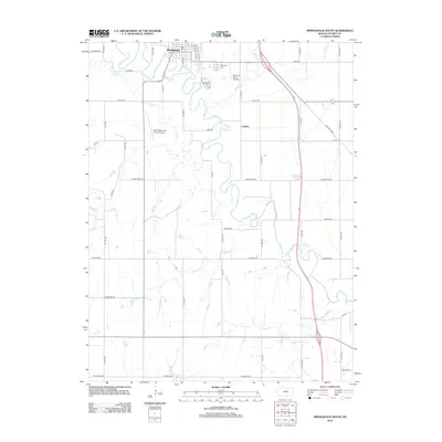
2012 Map of Minneapolis South
USGS Topo · Published 2012About this map
Minneapolis serves as the focal point for this Ottawa County landscape, where the meandering Solomon River dictates the region's geography and development. To the south of the city, the land transitions into a systematic grid of agricultural roads, punctuated by the small settlement of Lindsey and the quiet grounds of Highland Cem. The map illustrates the area's aviation infrastructure with both the Minneapolis City County Airport and the Solomon Valley Airpark situated in the northern reaches. This 2012 survey captures the drainage patterns of several tributaries including Salt Cr, Lindsey Cr, and Battle Cr, which flow toward the Solomon, shaping the fertile Kansas plains. The network of rural routes like Justice Rd and Frontier Rd provides a clear view of how modern transportation corridors have integrated with the natural watercourses of the valley.
Find a feature on this map
45 named features on this map. Tap any name to fly to it.
Don’t see what you’re looking for? This feature index may not catch every label — zoom into the map to look around manually.
Map Details
Editions of this 2012 Minneapolis South Map
This is the sole edition of this map. No revisions or reprints were ever made.
Other maps of this area

1892 · Salina
USGS Topo · 1:125,000

1892 · Minneapolis
USGS Topo · 1:125,000

1942 · Salina
USGS Topo · 1:125,000

1955 · Trenton
USGS Topo · 1:24,000

1955 · Culver
USGS Topo · 1:24,000

1955 · New Cambria
USGS Topo · 1:24,000

1955 · Manhattan
USGS Topo · 1:250,000

1955 · Hutchinson
USGS Topo · 1:250,000

1956 · Manhattan
USGS Topo · 1:250,000

1957 · Manhattan
USGS Topo · 1:250,000